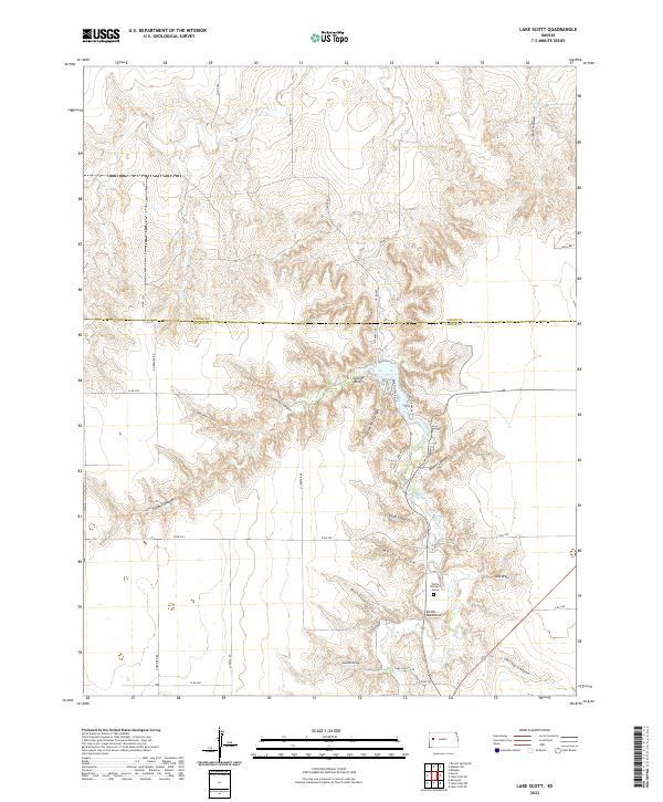
2022 Map of Lake Scott
USGS Topo · Published 2022About this map
Suicide Bluffs and the surrounding canyon systems define this high plains landscape at the transition between Logan and Scott counties. The terrain is deeply incised by a network of drainage features, including the prominent Horsethief Canyon and Garvin Canyon which feed into the central basin. Local history and legend are physically marked on the landscape through distinctively named landmarks such as the White Woman's Grave and the geological formation known as Devils Backbone. These features, along with Barrel Springs, suggest a history of early travel and settlement patterns centered on reliable water sources and defensive high ground. The map also records significant sites like Battle Canyon and Epler Canyon, providing a detailed look at the geographic character of this western Kansas region.
Find a feature on this map
41 named features on this map. Tap any name to fly to it.
Don’t see what you’re looking for? This feature index may not catch every label — zoom into the map to look around manually.
Map Details
Editions of this 2022 Lake Scott Map
This is the sole edition of this map. No revisions or reprints were ever made.
Other maps of this area

1939 · Lake Mc Bride
USGS Topo · 1:24,000

1939 · Sandon
USGS Topo · 1:62,500

1939 · Pence
USGS Topo · 1:62,500

1941 · Pence
USGS Topo · 1:62,500

1942 · Sandon
USGS Topo · 1:62,500

1942 · Lake Mc Bride
USGS Topo · 1:31,680

1955 · Scott City
USGS Topo · 1:250,000

1958 · Scott City
USGS Topo · 1:250,000

1974 · Elkader SW
USGS Topo · 1:24,000

1974 · Elkader
USGS Topo · 1:24,000