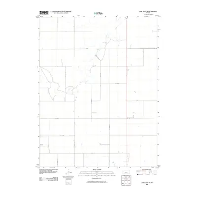
2009 Map of Lake Scott SW
USGS Topo · Published 2009About this map
Ladder Creek meanders through this portion of the Kansas High Plains, carving a distinct riparian corridor through the grid of section-line roads. This landscape in the western part of the state is defined by its vast agricultural layout, where primary thoroughfares like N Kansas Rd and N Grant Rd facilitate the movement of goods and livestock. The presence of Buehler Airfield in the southwest corner suggests the importance of light aviation to these large-scale ranching and farming operations.
Find a feature on this map
16 named features on this map. Tap any name to fly to it.
Don’t see what you’re looking for? This feature index may not catch every label — zoom into the map to look around manually.
Map Details
Editions of this 2009 Lake Scott SW Map
This is the sole edition of this map. No revisions or reprints were ever made.
Other maps of this area

1939 · Lake Mc Bride
USGS Topo · 1:24,000

1939 · Sandon
USGS Topo · 1:62,500

1939 · Pence
USGS Topo · 1:62,500

1940 · Scott City
USGS Topo · 1:62,500

1941 · Modoc
USGS Topo · 1:62,500

1941 · Pence
USGS Topo · 1:62,500

1942 · Sandon
USGS Topo · 1:62,500

1942 · Lake Mc Bride
USGS Topo · 1:31,680

1951 · Scott City
USGS Topo · 1:62,500

1951 · Modoc
USGS Topo · 1:62,500