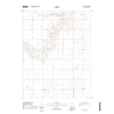
2018 Map of Lake Scott SW
USGS Topo · Published 2018About this map
Buehler Airport serves as a prominent landmark in the southwestern reaches of Scott County, positioned amidst a vast grid of agricultural section lines and drainage features. The landscape is defined by the sharp contrast between the flat upland plains and the complex erosional breaks of Big Valley Dr, where the terrain drops into more intricate topography. This 2018 survey shows a rural infrastructure heavily reliant on an organized road network, including corridors such as N Indian Rd and N Herford Rd that facilitate movement through the High Plains environment. Private interests are noted by features like Omega Ranch Dr, indicating the localized ranching and farming operations that characterize this part of Kansas. The cartography provides a clear view of the intersection of township and range lines, such as t17s r33w and t17s r32w, essential for property research and land management.
Find a feature on this map
25 named features on this map. Tap any name to fly to it.
Don’t see what you’re looking for? This feature index may not catch every label — zoom into the map to look around manually.
Map Details
Editions of this 2018 Lake Scott SW Map
This is the sole edition of this map. No revisions or reprints were ever made.
Other maps of this area

1939 · Lake Mc Bride
USGS Topo · 1:24,000

1939 · Sandon
USGS Topo · 1:62,500

1939 · Pence
USGS Topo · 1:62,500

1940 · Scott City
USGS Topo · 1:62,500

1941 · Modoc
USGS Topo · 1:62,500

1941 · Pence
USGS Topo · 1:62,500

1942 · Sandon
USGS Topo · 1:62,500

1942 · Lake Mc Bride
USGS Topo · 1:31,680

1951 · Scott City
USGS Topo · 1:62,500

1951 · Modoc
USGS Topo · 1:62,500