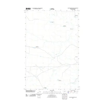
2011 Map of Lake Seventeen NE
USGS Topo · Published 2011About this map
Peoples Creek and its tributary, the South Fork Peoples Creek, carve a complex drainage pattern across this section of Blaine County within the Fort Belknap Reservation. This landscape is defined by an extensive system of water management features, including Many People Dam and a series of numbered impoundments such as Fort Belknap Number 27 Dam and Fort Belknap Number 31 Dam.
Find a feature on this map
11 named features on this map. Tap any name to fly to it.
Don’t see what you’re looking for? This feature index may not catch every label — zoom into the map to look around manually.
Map Details
Editions of this 2011 Lake Seventeen NE Map
This is the sole edition of this map. No revisions or reprints were ever made.
Other maps of this area

1953 · Havre
USGS Topo · 1:250,000

1957 · Havre
USGS Topo · 1:250,000

1958 · Havre
USGS Topo · 1:250,000

1971 · Putnam Lake
USGS Topo · 1:24,000
1971 · Fort Belknap Agency SE
USGS Topo · 1:24,000

1971 · Lodge Pole NW
USGS Topo · 1:24,000
1971 · Stiffarm Coulee
USGS Topo · 1:24,000
1971 · Lake Seventeen NE
USGS Topo · 1:24,000
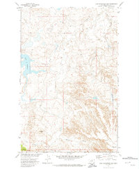
1971 · Lake Seventeen East
USGS Topo · 1:24,000
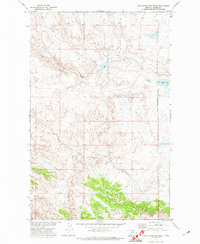
1971 · Lake Seventeen West
USGS Topo · 1:24,000