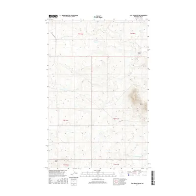
2017 Map of Lake Seventeen NE
USGS Topo · Published 2017About this map
Three Buttes dominates the eastern portion of this northern Montana landscape, serving as a prominent landmark in the Agency District of Blaine County. The terrain is defined by its drainage systems, most notably Peoples Cr and the S Fork Peoples Cr, which have carved distinctive features like Fogarty Coulee into the high plains. Human activity in this rural stretch is primarily traced through a sparse network of unpaved roads, including Left Fork Snake Butte Rd and Three Buttes Rd, which navigate the rises and falls of the land. To the southwest, Putnam Ridge provides additional topographic character to a region largely defined by its open range and natural watercourses. The 2017 surveying of these townships illustrates the persistence of traditional land divisions and the reliance on named natural features for navigation in the Big Sky country.
Find a feature on this map
13 named features on this map. Tap any name to fly to it.
Don’t see what you’re looking for? This feature index may not catch every label — zoom into the map to look around manually.
Map Details
Editions of this 2017 Lake Seventeen NE Map
This is the sole edition of this map. No revisions or reprints were ever made.
Other maps of this area

1953 · Havre
USGS Topo · 1:250,000

1957 · Havre
USGS Topo · 1:250,000

1958 · Havre
USGS Topo · 1:250,000

1971 · Putnam Lake
USGS Topo · 1:24,000
1971 · Fort Belknap Agency SE
USGS Topo · 1:24,000

1971 · Lodge Pole NW
USGS Topo · 1:24,000
1971 · Stiffarm Coulee
USGS Topo · 1:24,000
1971 · Lake Seventeen NE
USGS Topo · 1:24,000
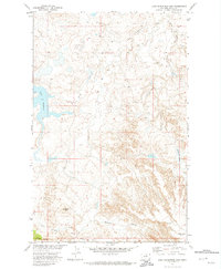
1971 · Lake Seventeen East
USGS Topo · 1:24,000
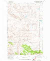
1971 · Lake Seventeen West
USGS Topo · 1:24,000