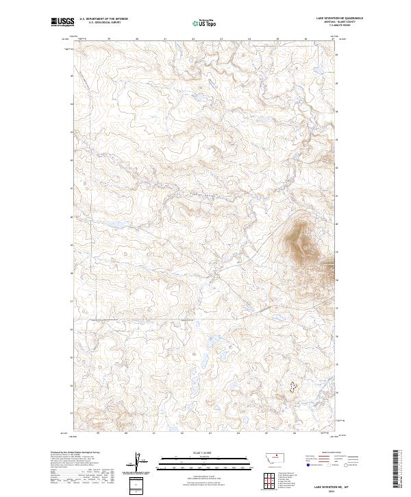
2024 Map of Lake Seventeen NE
USGS Topo · Published 2024About this map
Three Buttes dominates the eastern landscape of this Blaine County terrain, providing a significant landmark overlooking the drainage basins of north-central Montana. The map documents a sparsely settled region defined by its hydrography, specifically the winding course of Peoples Creek and its tributary, South Fork Peoples Creek. These waterways and the accompanying Fogarty Coulee shape the land's character, illustrating the natural erosion patterns typical of this part of the state. Human presence is marked primarily by foundational infrastructure, with Left Fork Snake Butte Rd and Three Buttes Rd providing the primary access through the sections. The lack of named settlements or civic structures highlights the open, rural nature of this area in the early 21st century, making it a valuable reference for understanding the modern distribution of water resources and ranch access roads.
Find a feature on this map
12 named features on this map. Tap any name to fly to it.
Don’t see what you’re looking for? This feature index may not catch every label — zoom into the map to look around manually.
Map Details
Editions of this 2024 Lake Seventeen NE Map
This is the sole edition of this map. No revisions or reprints were ever made.
Other maps of this area

1953 · Havre
USGS Topo · 1:250,000

1957 · Havre
USGS Topo · 1:250,000

1958 · Havre
USGS Topo · 1:250,000

1971 · Putnam Lake
USGS Topo · 1:24,000
1971 · Fort Belknap Agency SE
USGS Topo · 1:24,000

1971 · Lodge Pole NW
USGS Topo · 1:24,000
1971 · Stiffarm Coulee
USGS Topo · 1:24,000
1971 · Lake Seventeen NE
USGS Topo · 1:24,000
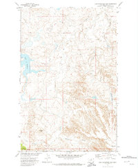
1971 · Lake Seventeen East
USGS Topo · 1:24,000
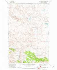
1971 · Lake Seventeen West
USGS Topo · 1:24,000