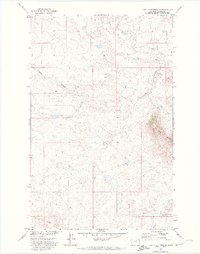
1971 Map of Lake Seventeen NE
USGS Topo · Published 1974About this map
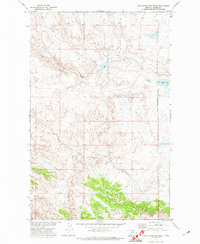
Peoples Creek and its southern drainage wind through this high-plains landscape in Blaine County, documented during a 1970s study for the Missouri River Basin development program. The topography is defined by the prominent heights of the Three Buttes in the east and the long extension of Putnam Ridge to the southwest. This area of the Fort Belknap Indian Reservation shows a sparse but functional network of land use, including a Pack Trail navigating the slopes of the buttes and a lone Drill Hole in the northeastern corner. The drainage patterns of Fogarty Coulee illustrate the seasonal water movement through these coulees and ridges, while the South Fork Peoples Creek provides a focal point for the lower drainage system near the southern boundary.
Find a feature on this map
10 named features on this map. Tap any name to fly to it.
Don’t see what you’re looking for? This feature index may not catch every label — zoom into the map to look around manually.
Map Details
Editions of this 1971 Lake Seventeen NE Map
This is the sole edition of this map. No revisions or reprints were ever made.
Other maps of this area

1953 · Havre
USGS Topo · 1:250,000

1957 · Havre
USGS Topo · 1:250,000

1958 · Havre
USGS Topo · 1:250,000

1971 · Putnam Lake
USGS Topo · 1:24,000
1971 · Fort Belknap Agency SE
USGS Topo · 1:24,000

1971 · Lodge Pole NW
USGS Topo · 1:24,000
1971 · Stiffarm Coulee
USGS Topo · 1:24,000
1971 · Lake Seventeen East
USGS Topo · 1:24,000
1971 · Lake Seventeen West
USGS Topo · 1:24,000
1971 · Newhouse Reservoir
USGS Topo · 1:24,000