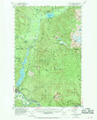
1952 Map of Lake Shannon
USGS Topo · Published 1970About this map
The Baker River drainage and the impounded waters of Lake Shannon define this corridor in the early 1950s. The town of Concrete serves as the industrial hub at the confluence of the Baker and the Skagit River, where the Great Northern railroad line connects the valley to broader markets. The landscape is a mix of high-relief peaks like Sauk Mtn and Bacon Peak and active infrastructure projects, including the Baker Dam and the Bear Creek Powerhouse.
Find a feature on this map
76 named features on this map. Tap any name to fly to it.
Don’t see what you’re looking for? This feature index may not catch every label — zoom into the map to look around manually.
Map Details
Editions of this 1952 Lake Shannon Map
Other maps of this area

1899 · Glacier Peak
USGS Topo · 1:125,000

1899 · Stillaguamish
USGS Topo · 1:125,000

1901 · Glacier Peak
USGS Topo · 1:125,000

1901 · Stilaguamish
USGS Topo · 1:125,000

1909 · Mt Baker
USGS Topo · 1:192,000

1915 · Mt. Baker
USGS Topo · 1:250,000

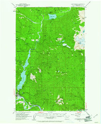
1952 · Lake Shannon
USGS Topo · 1:62,500

1952 · Mt. Baker
USGS Topo · 1:62,500

1952 · Hamilton
USGS Topo · 1:62,500

1953 · Mt Shuksan
USGS Topo · 1:62,500