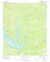
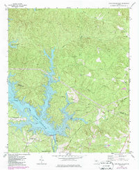
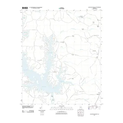
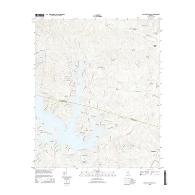
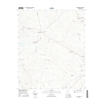
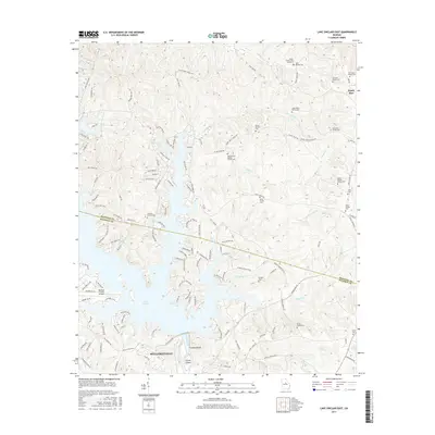
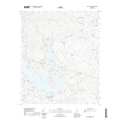
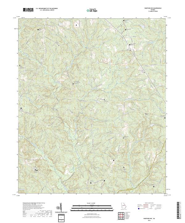
1972 Map of Lake Sinclair East
USGS Topo · Published 1975About this map
Lake Sinclair dominates this central Georgia landscape, its dendritic fingers reaching deep into the drainage basins of Island Creek and Little Island Creek. This 1970s era documentation captures the industrial and recreational infrastructure developed around the reservoir, including a Powerplant near Furman Shoals and the Milledgeville Country Club positioned along the southern shoreline. The map delineates the Indefinite Boundary between Hancock and Baldwin counties as it traverses the lake, reflecting the complex surveying required by the flooded valley.
Find a feature on this map
28 named features on this map. Tap any name to fly to it.
Don’t see what you’re looking for? This feature index may not catch every label — zoom into the map to look around manually.
Map Details
Editions of this 1972 Lake Sinclair East Map
2 editions found
Historical Maps of Milledgeville Through Time
36 maps found
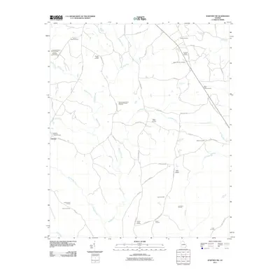
1961 Warthen NW
Hancock County, GA
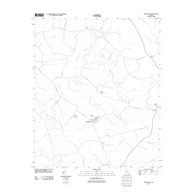
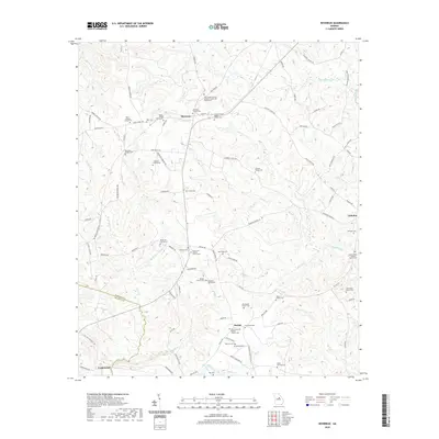
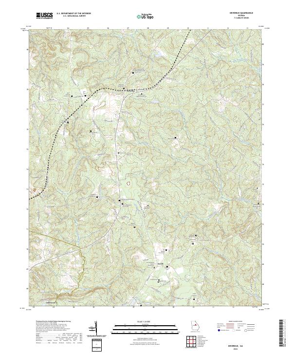
1972 Devereux
Hancock County, GA
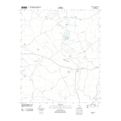
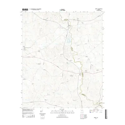
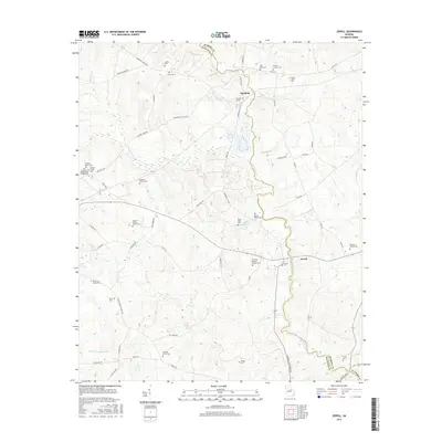
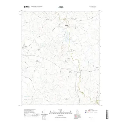
1972 Jewell
Hancock County, GA
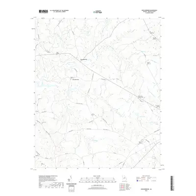
1972 Lake Sinclair East
Hancock County, GA
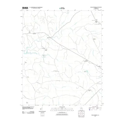
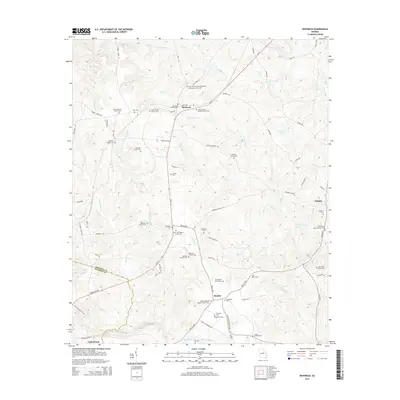
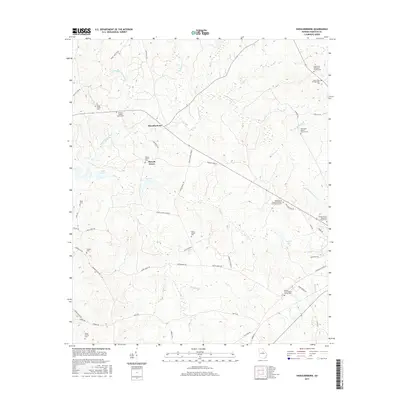
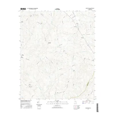
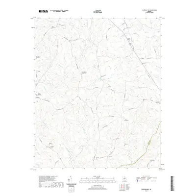
1972 Shoulderbone
Hancock County, GA
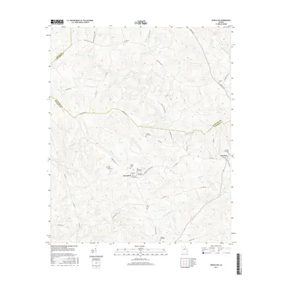
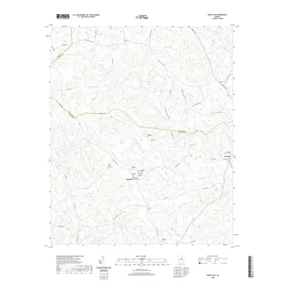
1972 Sparta NW
Hancock County, GA
2011 Devereux
Hancock County, GA
2011 Jewell
Hancock County, GA
2011 Lake Sinclair East
Hancock County, GA
2011 Shoulderbone
Hancock County, GA
2011 Sparta NW
Hancock County, GA
2011 Warthen NW
Hancock County, GA
2014 Devereux
Hancock County, GA
2014 Jewell
Hancock County, GA
2014 Lake Sinclair East
Hancock County, GA
2014 Shoulderbone
Hancock County, GA
2014 Sparta NW
Hancock County, GA
2014 Warthen NW
Hancock County, GA
2017 Devereux
Hancock County, GA
2017 Jewell
Hancock County, GA
2017 Lake Sinclair East
Hancock County, GA
2017 Shoulderbone
Hancock County, GA
2017 Sparta NW
Hancock County, GA
2017 Warthen NW
Hancock County, GA
2020 Devereux
Hancock County, GA
2020 Jewell
Hancock County, GA
2020 Lake Sinclair East
Hancock County, GA
2020 Shoulderbone
Hancock County, GA
2020 Sparta NW
Hancock County, GA
2020 Warthen NW
Hancock County, GA
2024 Devereux
Hancock County, GA
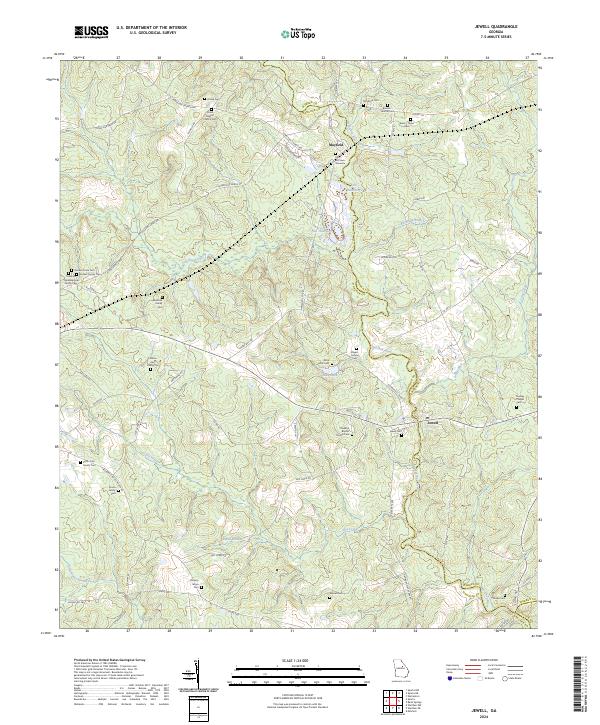
2024 Jewell
Hancock County, GA
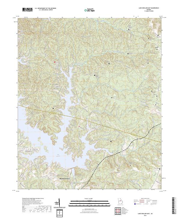
2024 Lake Sinclair East
Hancock County, GA
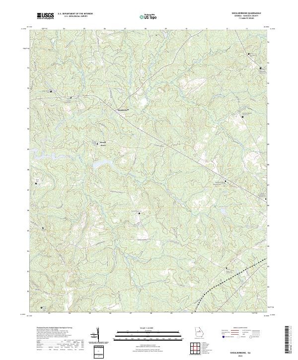
2024 Shoulderbone
Hancock County, GA
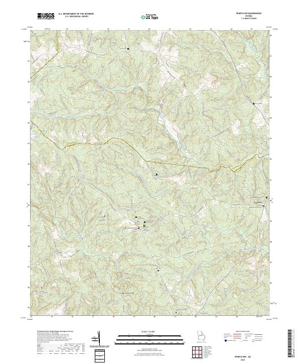
2024 Sparta NW
Hancock County, GA
2024 Warthen NW
Hancock County, GA