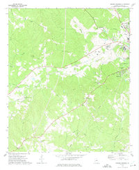
1972 Map of Browns Crossing
USGS Topo · Published 1975About this map
Milledgeville and its western outskirts anchor this 1970s survey, defined by a network of rural crossroads and institutional landmarks. The Central Of Georgia railroad cuts through the landscape, serving the industrial and social infrastructure of the era, including the State Training School for Boys and the Filtration Plant. A high concentration of community landmarks, such as Pardue Tabernacle, Antioch Ch, and Salem Ch, reflects the established social fabric of the Baldwin County countryside.
Find a feature on this map
38 named features on this map. Tap any name to fly to it.
Don’t see what you’re looking for? This feature index may not catch every label — zoom into the map to look around manually.
Map Details
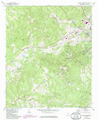
Editions of this 1972 Browns Crossing Map
2 editions found
Other maps of this area

1912 · Milledgeville
USGS Topo · 1:62,500

1916 · Irwinton
USGS Topo · 1:62,500

1920 · Irwinton
USGS Topo · 1:62,500

1953 · Athens
USGS Topo · 1:250,000

1956 · Gordon
USGS Topo · 1:62,500

1957 · Macon
USGS Topo · 1:250,000

1958 · Macon
USGS Topo · 1:250,000

1958 · Athens
USGS Topo · 1:250,000

1959 · Athens
USGS Topo · 1:250,000

1963 · Athens
USGS Topo · 1:250,000