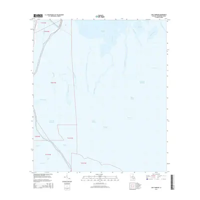
2015 Map of Lake Tambour
USGS Topo · Published 2015About this map
Lake Tambour and the expansive wetlands of Terrebonne Parish are captured here in a transition zone where the alluvial landscape meets the Gulf of Mexico. The area is defined by a dense network of south-flowing waterways, including the prominent Bayou Terrebonne and Bayou Petit Caillou. This maritime environment is deeply segmented by tidal inlets and lagoons such as Madison Bay, Bay Baptiste, and Bayou Barre. Evidence of human engineering in the marsh is visible through the Bush Canal and S Madison Rd, which provide access to this water-dominated terrain. The intricate drainage patterns of the coastal prairie are marked by numerous family-named and descriptive features like Bayou Charles Theriot, Grand Bayou Bourbeux, and Petit Bayou Bourbeux, reflecting the region's long history of local navigation and fishing.
Find a feature on this map
33 named features on this map. Tap any name to fly to it.
Don’t see what you’re looking for? This feature index may not catch every label — zoom into the map to look around manually.
Map Details
Editions of this 2015 Lake Tambour Map
This is the sole edition of this map. No revisions or reprints were ever made.
Other maps of this area

1894 · Timbalier
USGS Topo · 1:62,500

1894 · Lake Felicity
USGS Topo · 1:62,500

1894 · Dulac
USGS Topo · 1:62,500

1935 · Cocodrie
USGS Topo · 1:31,680

1935 · Bourbeux
USGS Topo · 1:31,680

1935 · Viguerie Canal
USGS Topo · 1:31,680

1935 · Montegut
USGS Topo · 1:31,680

1935 · Lake Quitman
USGS Topo · 1:31,680

1935 · Lake Gero
USGS Topo · 1:31,680

1939 · Lake Felicity
USGS Topo · 1:62,500