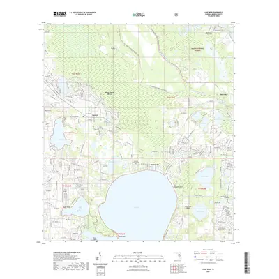
2021 Map of Lake Weir
USGS Topo · Published 2021About this map
Lake Weir dominates the southern landscape of this Marion County survey, serving as a focal point for lakeside communities and residential development. Along its northern and eastern shores, settlements like Ocklawaha, Hampton Beach, and East Lake Weir show a established pattern of water-frontage living. This area reflects a classic Florida mix of recreation and aviation, with small landing strips such as Back Achers Airport and Johary Airport serving the local population. To the north, the terrain transitions into the protected wetlands and pine flatwoods of the Ocala National Forest and the Ocklawaha Prairie Preserve. The Ocklawaha River winds through the northeast corner, connecting several smaller water bodies like Lake Deon and Moss Bluff Pond. The map also captures the local history found at the Ocklawaha Community Cem and the residential expansion of Silver Springs Shores and Candler.
Find a feature on this map
209 named features on this map. Tap any name to fly to it.
Don’t see what you’re looking for? This feature index may not catch every label — zoom into the map to look around manually.
Map Details
Editions of this 2021 Lake Weir Map
This is the sole edition of this map. No revisions or reprints were ever made.
Other maps of this area

1893 · Panasoffkee
USGS Topo · 1:62,500

1895 · Panasoffkee
USGS Topo · 1:62,500

1895 · Ocala
USGS Topo · 1:62,500

1954 · Gainesville
USGS Topo · 1:250,000

1954 · Daytona Beach
USGS Topo · 1:250,000

1955 · Plant City
USGS Topo · 1:250,000

1955 · Orlando
USGS Topo · 1:250,000

1957 · Orlando
USGS Topo · 1:250,000

1958 · Orlando
USGS Topo · 1:250,000

1958 · Daytona Beach
USGS Topo · 1:250,000