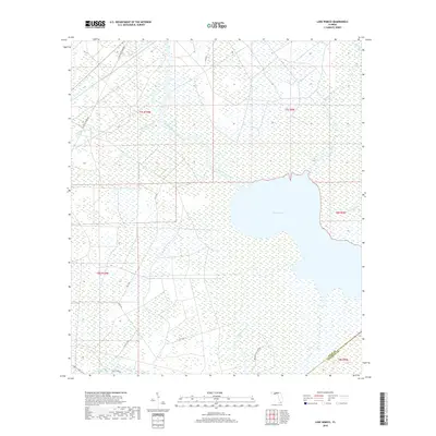
2018 Map of Lake Wimico
USGS Topo · Published 2018About this map
Lake Wimico dominates this low-lying coastal landscape at the border of Gulf and Franklin Counties. The sheet captures a complex network of wetlands and waterways, where the modern Intracoastal Waterway cuts a straight path through the winding natural bends of Horseshoe Creek and Searcy Creek. This intersection of industrial transit and natural drainage is a hallmark of the Florida Panhandle's hydrologic history.
Find a feature on this map
20 named features on this map. Tap any name to fly to it.
Don’t see what you’re looking for? This feature index may not catch every label — zoom into the map to look around manually.
Map Details
Editions of this 2018 Lake Wimico Map
This is the sole edition of this map. No revisions or reprints were ever made.
Other maps of this area

1943 · Port St. Joe
USGS Topo · 1:31,680

1943 · Cape San Blas
USGS Topo · 1:31,680

1943 · West Pass
USGS Topo · 1:31,680

1943 · Overstreet
USGS Topo · 1:31,680

1943 · Indian Pass
USGS Topo · 1:24,000

1943 · Jackson River
USGS Topo · 1:24,000

1944 · White City
USGS Topo · 1:24,000

1944 · Forbes Island
USGS Topo · 1:24,000

1945 · Forbes Island
USGS Topo · 1:31,680

1945 · Lake Wimico
USGS Topo · 1:31,680