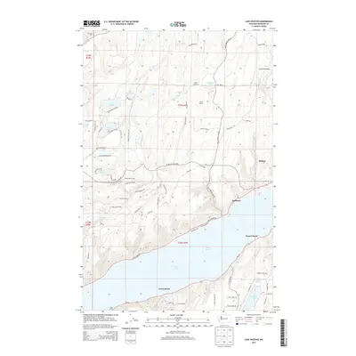
2014 Map of Lake Wooten
USGS Topo · Published 2014About this map
The Great Peninsula landscape south of Belfair is defined by a dense network of freshwater lakes and the saltwater reach of the Hood Canal. On the northern end, the Dewatto River and Tahuya River drain through wooded terrain marked by Tahuya Lookout and the Dewatto Cem. This map illustrates a specific balance of recreational and residential development, showcasing organized youth camps like Camp Spillman alongside shoreline communities such as Sunbeach and Sunset Beach along Puget Sound.
Find a feature on this map
80 named features on this map. Tap any name to fly to it.
Don’t see what you’re looking for? This feature index may not catch every label — zoom into the map to look around manually.
Map Details
Editions of this 2014 Lake Wooten Map
This is the sole edition of this map. No revisions or reprints were ever made.
Other maps of this area

1936 · Point Misery
USGS Topo · 1:62,500

1938 · Mt Constance
USGS Topo · 1:125,000

1938 · Allyn
USGS Topo · 1:62,500

1940 · Point Misery
USGS Topo · 1:62,500

1943 · Potlatch
USGS Topo · 1:62,500

1947 · The Brothers
USGS Topo · 1:62,500

1950 · The Brothers
USGS Topo · 1:62,500

1952 · Potlatch
USGS Topo · 1:62,500

1953 · Vaughn
USGS Topo · 1:24,000

1953 · Lake Wooten
USGS Topo · 1:24,000