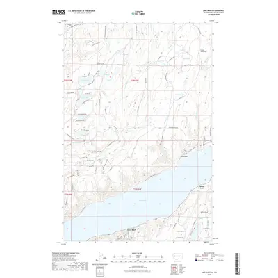
2020 Map of Lake Wooten
USGS Topo · Published 2020About this map
The Hood Canal shoreline and the interior of the Great Peninsula define this coastal Washington landscape. Along the waterfront, small communities like Sunbeach, Sunset Beach, and Forest Beach are connected by NE North Shore Rd, while the inland terrain is marked by a high density of glacial kettle lakes. Notable water bodies include Lake Wooten, Haven Lake, and Erdman Lake, which are interspersed with creeks such as Stimson Cr and the larger Tahuya River.
Find a feature on this map
86 named features on this map. Tap any name to fly to it.
Don’t see what you’re looking for? This feature index may not catch every label — zoom into the map to look around manually.
Map Details
Editions of this 2020 Lake Wooten Map
This is the sole edition of this map. No revisions or reprints were ever made.
Other maps of this area

1936 · Point Misery
USGS Topo · 1:62,500

1938 · Mt Constance
USGS Topo · 1:125,000

1938 · Allyn
USGS Topo · 1:62,500

1940 · Point Misery
USGS Topo · 1:62,500

1943 · Potlatch
USGS Topo · 1:62,500

1947 · The Brothers
USGS Topo · 1:62,500

1950 · The Brothers
USGS Topo · 1:62,500

1952 · Potlatch
USGS Topo · 1:62,500

1953 · Vaughn
USGS Topo · 1:24,000

1953 · Lake Wooten
USGS Topo · 1:24,000