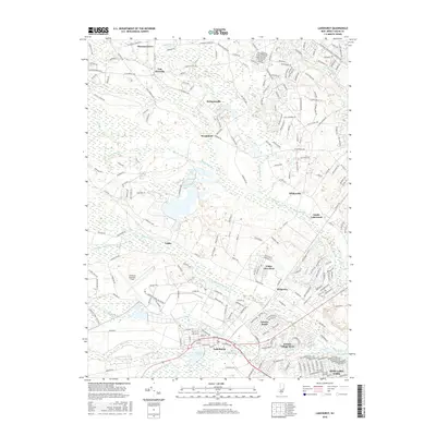
2016 Map of Lakehurst
USGS Topo · Published 2016About this map
The Lakehurst Naval Air Center and Lakehurst Maxfield Field dominate the southern landscape of this Ocean County study, marking the area's deep ties to aviation and defense. Surrounding this military footprint, the borough of Lakehurst sits at the junction of Union Br and Manapaqua Br, which feed into the prominent Horicon Lake. The map reveals a suburban transition through several large planned residential communities such as Leisure Village West, Leisure Knoll, and Cedar Glen West, illustrating the significant 20th-century population growth in the New Jersey Pinelands. To the north, the terrain remains more varied with numerous watercourses like the Toms River and S Br Metedeconk River winding through older settlements such as Van Hiseville and Holmansville. Significant wetlands and tributaries, including Maple Root Br and Obhonan Ridgeway Br, define the hydrology between the developed corridors of W Veterans Hwy and Lakehurst Ave.
Find a feature on this map
41 named features on this map. Tap any name to fly to it.
Don’t see what you’re looking for? This feature index may not catch every label — zoom into the map to look around manually.
Map Details
Editions of this 2016 Lakehurst Map
This is the sole edition of this map. No revisions or reprints were ever made.
Other maps of this area

1884 · Whitings
USGS Topo · 1:62,500

1888 · Barnegat
USGS Topo · 1:62,500

1888 · Asbury Park
USGS Topo · 1:62,500

1888 · Cassville
USGS Topo · 1:62,500

1888 · Whitings
USGS Topo · 1:62,500

1893 · Asbury Park
USGS Topo · 1:62,500

1893 · Barnegat
USGS Topo · 1:62,500

1894 · Cassville
USGS Topo · 1:62,500

1898 · Barnegat
USGS Topo · 1:62,500

1900 · Cassville
USGS Topo · 1:62,500
Featured Places
- Toms River, NJ
- Lakewood Township, NJ
- Jackson Township, NJ
- Manchester Township, NJ
- Pine Lake Park, Manchester Township