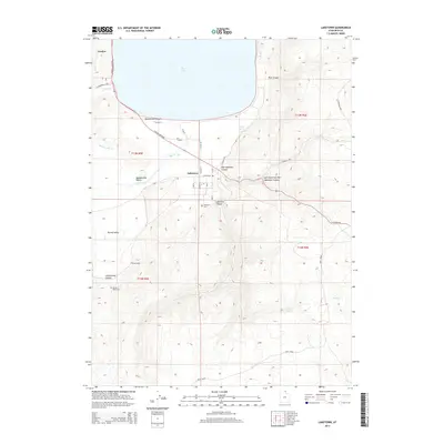
2014 Map of Laketown
USGS Topo · Published 2014About this map
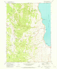
Laketown sits at the southern reach of Bear Lake, serving as a focal point where the mountain canyons meet the valley floor. The settlement pattern here is defined by a grid of local roads like N Main St and E Center St, while the surrounding landscape transitions into the high elevations of Laketown Mtn and Twin Peaks. To the west, the map details Meadowville Valley and Round Valley, areas historically shaped by the drainages of Meadowville Cr and Big Cr. This 2014 survey documents the enduring layout of rural Rich County, including localized landmarks such as Laketown Cem and the more remote Round Valley Cem. The shoreline is marked by Rendezvous Beach, a significant recreational and geographic feature where the valley's open space meets the water, providing a clear view of the interface between the aquatic and terrestrial environments in this part of northern Utah.
Find a feature on this map
41 named features on this map. Tap any name to fly to it.
Don’t see what you’re looking for? This feature index may not catch every label — zoom into the map to look around manually.
Map Details
Editions of this 2014 Laketown Map
This is the sole edition of this map. No revisions or reprints were ever made.
Other maps of this area

1912 · Randolph
USGS Topo · 1:125,000

1954 · Ogden
USGS Topo · 1:250,000

1958 · Ogden
USGS Topo · 1:250,000

1960 · Ogden
USGS Topo · 1:250,000

1968 · Randolph
USGS Topo · 1:24,000

1969 · Sheeppen Creek
USGS Topo · 1:24,000
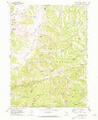
1969 · Red Spur Mtn
USGS Topo · 1:24,000
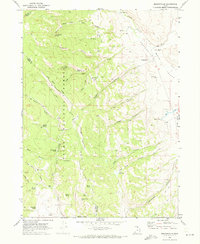
1969 · Meadowville
USGS Topo · 1:24,000
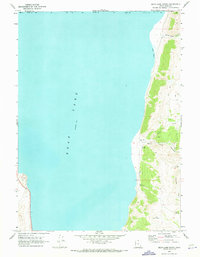
1969 · Bear Lake South
USGS Topo · 1:24,000
1969 · Garden City
USGS Topo · 1:24,000