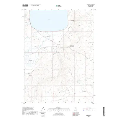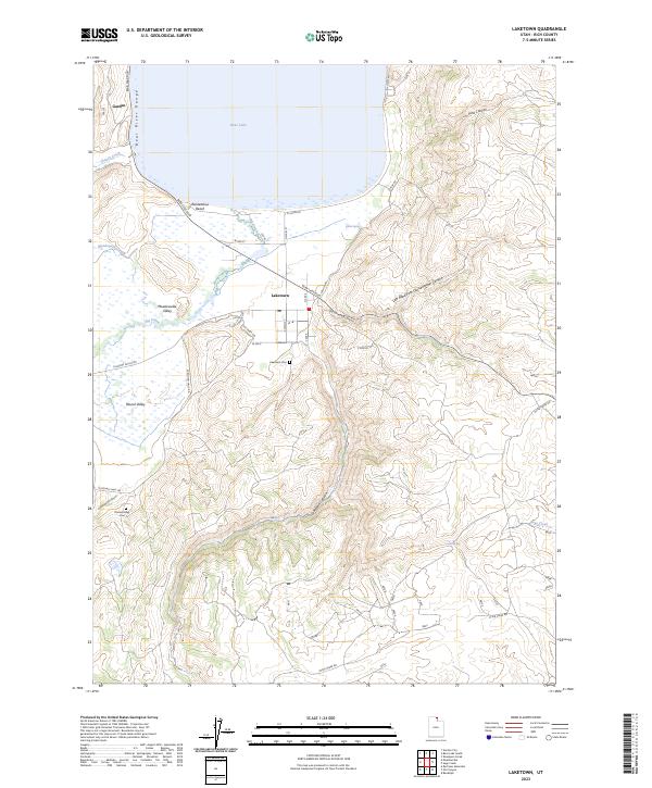
2023 Map of Laketown
USGS Topo · Published 2023About this map
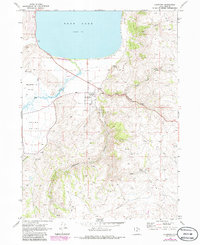
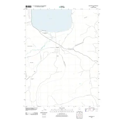
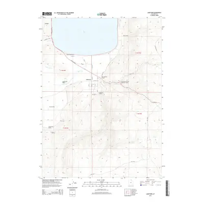
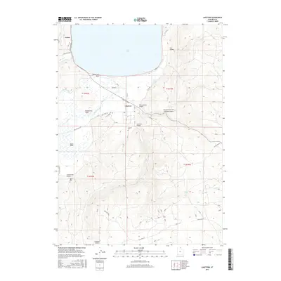
Laketown sits at the southern terminus of Bear Lake in Rich County, acting as a gateway between the shoreline and the surrounding mountain canyons. This 2023 survey illustrates the modern layout of the community, where N Main St and E Center St form the heart of the settlement. The landscape is defined by the sharp transition from the level Meadowville Valley and Round Valley to the steep elevations of the Bear River Range. Local history is anchored by sites like Laketown Cem and the Round Valley Cem, while the natural hydrology is traced through Big Creek and Meadowville Creek. The map details the drainage systems of Laketown Canyon and Cottonwood Canyon, providing a contemporary view of the region's long-established ranching and recreation corridors near Rendezvous Beach.
Find a feature on this map
35 named features on this map. Tap any name to fly to it.
Don’t see what you’re looking for? This feature index may not catch every label — zoom into the map to look around manually.
Map Details
Editions of this 2023 Laketown Map
This is the sole edition of this map. No revisions or reprints were ever made.
Historical Maps of Rich County Through Time
6 maps found