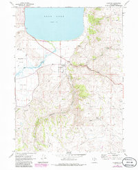
1969 Map of Laketown
USGS Topo · Published 1986About this map
Laketown serves as the hub of this rural Rich County landscape, situated where the high desert terrain meets the southern shoreline of Bear Lake. This survey captures the transition from irrigated valley agriculture to the steep, canyon-cut highlands of the Bear River Range. The settlement pattern is defined by the broad flatlands of Meadowville Valley and Round Valley, where Big Creek meanders toward the lake. Educational and community foundations are anchored by North Rich HS and the Laketown Cem, while recreational development is evident at Rendezvous Beach State Park. To the east and south, the terrain becomes increasingly complex as the map tracks numerous drainages like Laketown Canyon and Pine Canyon, providing a detailed look at the water sources and mountain tracks, including several Jeep Trails and isolated springs, vital for local ranching and upland access during this era.
Find a feature on this map
29 named features on this map. Tap any name to fly to it.
Don’t see what you’re looking for? This feature index may not catch every label — zoom into the map to look around manually.
Map Details
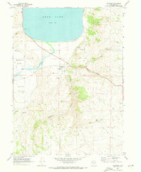
Editions of this 1969 Laketown Map
2 editions found
Other maps of this area

1912 · Randolph
USGS Topo · 1:125,000

1954 · Ogden
USGS Topo · 1:250,000

1958 · Ogden
USGS Topo · 1:250,000

1960 · Ogden
USGS Topo · 1:250,000

1968 · Randolph
USGS Topo · 1:24,000

1969 · Sheeppen Creek
USGS Topo · 1:24,000
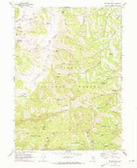
1969 · Red Spur Mtn
USGS Topo · 1:24,000
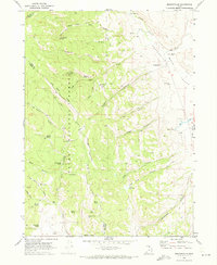
1969 · Meadowville
USGS Topo · 1:24,000
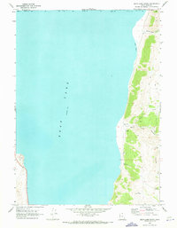
1969 · Bear Lake South
USGS Topo · 1:24,000
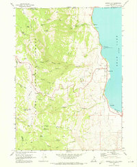
1969 · Garden City
USGS Topo · 1:24,000