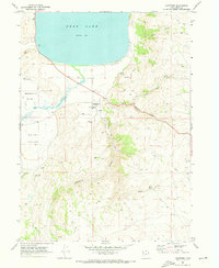
1969 Map of Laketown
USGS Topo · Published 1973About this map
Bear Lake dominates the northern horizon of this Rich County survey, its southern shoreline meeting the agricultural flats where Big Creek flows through Meadowville Valley. The town of Laketown serves as the central hub, situated near the mouth of Old Laketown Canyon and home to North Rich HS. This era captures a landscape of established ranching and rural infrastructure, from the small Landing Strip on the lakeshore to the irrigation sources like Fatsia Spring and Kearl Spring. The settlement patterns are deeply rooted, with the Laketown Cem and Round Valley Cem providing important markers for genealogists. The topography transitions sharply from the level Round Valley floor to the high ridges of Pine Canyon, crisscrossed by numerous Jeep Trails that suggest the region's historical reliance on rugged access for livestock and land management.
Find a feature on this map
28 named features on this map. Tap any name to fly to it.
Don’t see what you’re looking for? This feature index may not catch every label — zoom into the map to look around manually.
Map Details
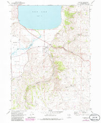
Editions of this 1969 Laketown Map
2 editions found
Other maps of this area

1912 · Randolph
USGS Topo · 1:125,000

1954 · Ogden
USGS Topo · 1:250,000

1958 · Ogden
USGS Topo · 1:250,000

1960 · Ogden
USGS Topo · 1:250,000

1968 · Randolph
USGS Topo · 1:24,000

1969 · Sheeppen Creek
USGS Topo · 1:24,000
1969 · Red Spur Mtn
USGS Topo · 1:24,000
1969 · Meadowville
USGS Topo · 1:24,000
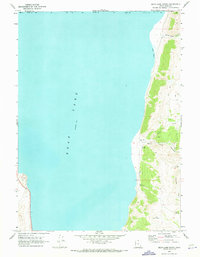
1969 · Bear Lake South
USGS Topo · 1:24,000
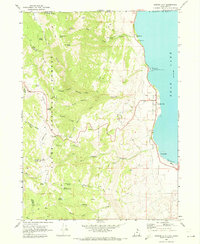
1969 · Garden City
USGS Topo · 1:24,000