Loading...
Loading map...2022 Map of Lambert
USGS Topo · Published 2022About this map
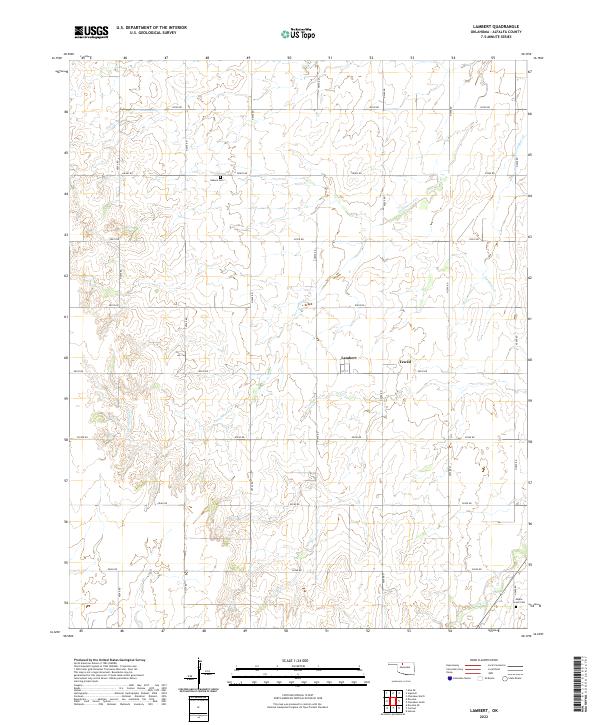
Small farming settlements and grid-patterned section roads define this portion of Alfalfa County. The community of Lambert is situated at the intersection of E0230 Rd and N2570 Rd, featuring a simple street plan including 1st St. Nearby, the map identifies Yewed, another localized node in a landscape shaped by the Public Land Survey System, as evidenced by the township lines of t26n r12w and t26n r11w.
Find a feature on this map
30 named features on this map. Tap any name to fly to it.
Don’t see what you’re looking for? This feature index may not catch every label — zoom into the map to look around manually.
Map Details
Date Portrayed2022
Date Published2022
PublisherU.S. Geological Survey
Map TypeTopographic
Scale1:24000
Physical Dimensions24 x 29 inches
Editions of this 2022 Lambert Map
This is the sole edition of this map. No revisions or reprints were ever made.
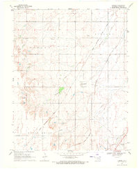
Historical Maps of Yewed Through Time
Featured Locations
Source Details
SourceU.S. Geological Survey
CopyrightPublic Domain