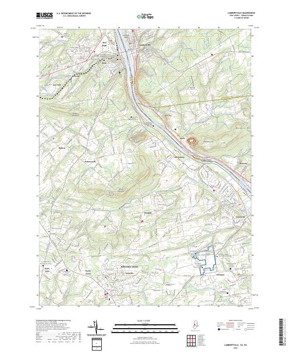
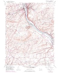
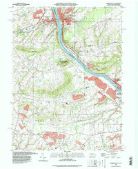
2023 Map of Lambertville
USGS Topo · Published 2023About this map
The Delaware River serves as the central artery for this region, separating Lambertville in New Jersey from New Hope in Pennsylvania. This landscape is defined by its preservation of both natural and historical features, where the Pennsylvania Canal and the Delaware and Raritan Canal run parallel to the river's banks, tracing the old industrial pathways of the 19th-century transport network. The area is dense with sites of genealogical and historical significance, including the Washington Crossing National Cem and the Solebury Friends Graveyard. Beyond the river towns, the terrain rises toward peaks such as Goat Hill, Jericho Mountain, and Baldpate Mtn. Smaller settlements like Titusville, Brownsburg, and Stoopville are scattered across the valley, connected by historic routes like Lower York Rd and the D&L Trl.
Find a feature on this map
63 named features on this map. Tap any name to fly to it.
Don’t see what you’re looking for? This feature index may not catch every label — zoom into the map to look around manually.
Map Details
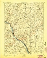
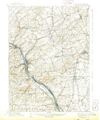
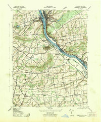
Editions of this 2023 Lambertville Map
This is the sole edition of this map. No revisions or reprints were ever made.
Historical Maps of Taylorsville Through Time
8 maps found


Featured Locations
- Hopewell Township, NJ
- Solebury Township, PA
- Buckingham Township, PA
- Lower Makefield Township, PA
- Upper Makefield Township, PA