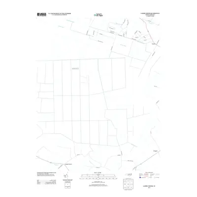
2013 Map of Lambs Corner
USGS Topo · Published 2013About this map
Lambs Corner and the surrounding coastal plain of Currituck County are defined by an extensive network of drainage infrastructure designed to manage the low-lying terrain. Waterways such as the Guinea Mill Run Canal, Roland Creek Canal, and Run Swamp Canal cut through the landscape, illustrating the historical effort to reclaim and maintain agricultural and residential lands in this part of North Carolina. Small rural settlements like Guinea and Gregory anchor the road network, while the Blackwater Airstrip provides a unique landmark amidst the grid of farm fields and drainage laterals.
Find a feature on this map
42 named features on this map. Tap any name to fly to it.
Don’t see what you’re looking for? This feature index may not catch every label — zoom into the map to look around manually.
Map Details
Editions of this 2013 Lambs Corner Map
This is the sole edition of this map. No revisions or reprints were ever made.
Other maps of this area

1939 · Moyock
USGS Topo · 1:62,500

1940 · Lake Drummond
USGS Topo · 1:62,500

1940 · South Mills
USGS Topo · 1:62,500

1945 · Lake Drummond
USGS Topo · 1:62,500

1946 · Moyock
USGS Topo · 1:62,500

1948 · Elizabeth City
USGS Topo · 1:62,500

1952 · South Mills
USGS Topo · 1:62,500

1953 · Norfolk
USGS Topo · 1:250,000
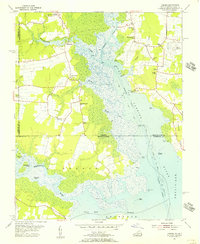
1954 · Creeds
USGS Topo · 1:24,000
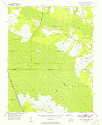
1954 · Lake Drummond SE
USGS Topo · 1:24,000