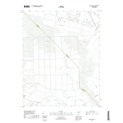
2019 Map of Lambs Corner
USGS Topo · Published 2019About this map
The Great Dismal Swamp dominates this landscape along the border of Currituck and Camden Counties, defining the hydrology and settlement patterns of the region. A complex network of waterways, including the Guinea Mill Run Canal, Lateral A Canal, and Roland Cr Canal, illustrates the extensive drainage efforts required to manage this unique terrain. These man-made channels intersect with natural features like Black Swamp and Eagle Creek, creating a distinct grid-like environment that supports both aviation at the NC61 Airport and rural community life.
Find a feature on this map
42 named features on this map. Tap any name to fly to it.
Don’t see what you’re looking for? This feature index may not catch every label — zoom into the map to look around manually.
Map Details
Editions of this 2019 Lambs Corner Map
This is the sole edition of this map. No revisions or reprints were ever made.
Other maps of this area

1939 · Moyock
USGS Topo · 1:62,500

1940 · Lake Drummond
USGS Topo · 1:62,500

1940 · South Mills
USGS Topo · 1:62,500

1945 · Lake Drummond
USGS Topo · 1:62,500

1946 · Moyock
USGS Topo · 1:62,500

1948 · Elizabeth City
USGS Topo · 1:62,500

1952 · South Mills
USGS Topo · 1:62,500

1953 · Norfolk
USGS Topo · 1:250,000
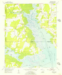
1954 · Creeds
USGS Topo · 1:24,000
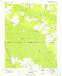
1954 · Lake Drummond SE
USGS Topo · 1:24,000