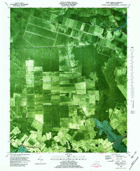
1982 Map of Lambs Corner
USGS Topo · Published 1983About this map
The Great Dismal Swamp dominates this landscape along the border of Currituck and Camden counties. This orthophotomap, based on late 1970s aerial photography, reveals the stark geometry of human intervention in the wetlands through an extensive network of drainage channels. Waterways like the Guiena Mill Run Canal, Roland Creek Canal, and Run Swamp Canal slice through the swamp, defining the agricultural and timber boundaries of the era.
Find a feature on this map
10 named features on this map. Tap any name to fly to it.
Don’t see what you’re looking for? This feature index may not catch every label — zoom into the map to look around manually.
Map Details
Editions of this 1982 Lambs Corner Map
This is the sole edition of this map. No revisions or reprints were ever made.
Other maps of this area

1939 · Moyock
USGS Topo · 1:62,500

1940 · Lake Drummond
USGS Topo · 1:62,500

1940 · South Mills
USGS Topo · 1:62,500

1945 · Lake Drummond
USGS Topo · 1:62,500

1946 · Moyock
USGS Topo · 1:62,500

1948 · Elizabeth City
USGS Topo · 1:62,500

1952 · South Mills
USGS Topo · 1:62,500

1953 · Norfolk
USGS Topo · 1:250,000
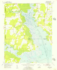
1954 · Creeds
USGS Topo · 1:24,000
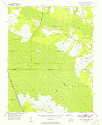
1954 · Lake Drummond SE
USGS Topo · 1:24,000