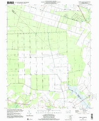
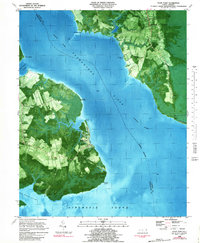
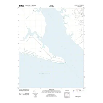
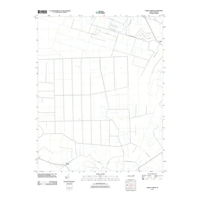
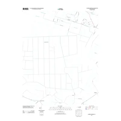
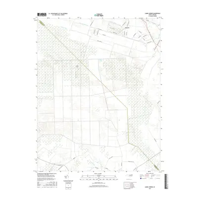
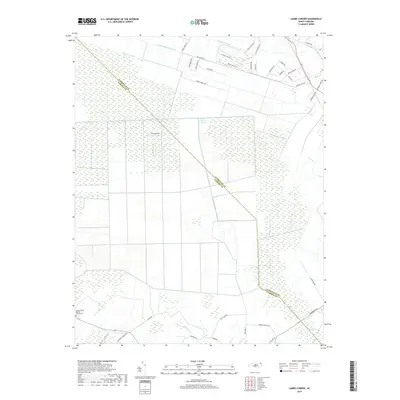
1997 Map of Lambs Corner
USGS Topo · Published 2000About this map
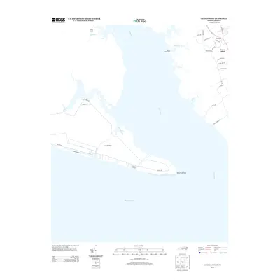
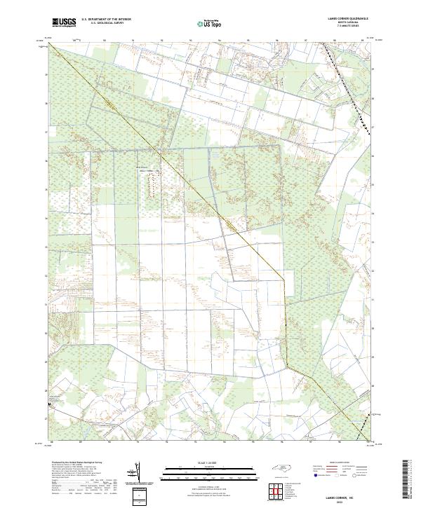
The Great Dismal Swamp dominates this landscape along the border of Currituck and Camden counties, showing a complex network of drainage and water management. Large-scale agricultural tracts and managed woodlands are defined by man-made waterways like the Guiena Mill Run Canal and the Run Swamp Canal, which drain the low-lying terrain. While much of the land remains undeveloped wetlands, small rural settlements and family landmarks are concentrated toward the southern and eastern edges of the sheet. The community of Lambs Corner serves as a local crossroads near the banks of Cooper, while the village of Gregory is situated in the southeastern corner. Numerous small, unnamed cemeteries (Cem) are scattered across the higher ground near these settlements, providing a valuable record of early residency and family plots in this corner of North Carolina.
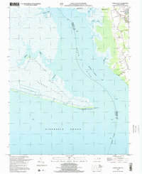
Find a feature on this map
11 named features on this map. Tap any name to fly to it.
Don’t see what you’re looking for? This feature index may not catch every label — zoom into the map to look around manually.
Map Details
Editions of this 1997 Lambs Corner Map
This is the sole edition of this map. No revisions or reprints were ever made.
Historical Maps of Moyock Through Time
28 maps found
1982 Camden Point
Camden County, NC
1982 Lambs Corner
Camden County, NC
1982 Shiloh
Camden County, NC
1982 Wade Point
Camden County, NC
1997 Lambs Corner
Camden County, NC
1999 Camden Point
Camden County, NC
1999 Shiloh
Camden County, NC
1999 Wade Point
Camden County, NC
2010 Camden Point
Camden County, NC
2010 Lambs Corner
Camden County, NC
2010 Shiloh
Camden County, NC

2010 Wade Point
Camden County, NC
2013 Camden Point
Camden County, NC
2013 Lambs Corner
Camden County, NC
2013 Shiloh
Camden County, NC
2013 Wade Point
Camden County, NC
2016 Camden Point
Camden County, NC
2016 Lambs Corner
Camden County, NC
2016 Shiloh
Camden County, NC
2016 Wade Point
Camden County, NC
2019 Camden Point
Camden County, NC
2019 Lambs Corner
Camden County, NC
2019 Shiloh
Camden County, NC
2019 Wade Point
Camden County, NC
2022 Camden Point
Camden County, NC
2022 Lambs Corner
Camden County, NC
2022 Shiloh
Camden County, NC
2022 Wade Point
Camden County, NC