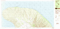
1984 Map of Lanai North
USGS Topo · Published 1984About this map
Lanai City and the nearby settlement of Koele anchor the southern edge of this mid-1980s landscape, where the northern coast of the island meets the Kalohi Channel and Auau Channel. The island's northern interior is defined by a series of radial drainage systems, with prominent features like Maunalei Gulch and Lapaiki Gulch cutting through the upland terrain. Along the northwestern shore, the Garden of the Gods and Polihua Beach mark a largely unpopulated coast, save for maritime infrastructure. The presence of the Pohakuloa Point Light and the U.S. Coast Guard Reservation near Shipwreck Beach highlights the area's significance to navigation within the Lahaina District. A complex network of ridges, including Koloiki Ridge and Kamiki Ridge, reveals the volcanic origins and subsequent erosion that shaped this part of Maui County.
Find a feature on this map
82 named features on this map. Tap any name to fly to it.
Don’t see what you’re looking for? This feature index may not catch every label — zoom into the map to look around manually.
Map Details
Editions of this 1984 Lanai North Map
This is the sole edition of this map. No revisions or reprints were ever made.
Other maps of this area

1923 · Island of Lanai
USGS Topo · 1:31,680

1925 · Island of Lanai
USGS Topo · 1:62,500

1954 · Maui
USGS Topo · 1:250,000

1966 · Maui
USGS Topo · 1:250,000

1974 · Maui
USGS Topo · 1:250,000
1984 · Lanai South
USGS Topo · 1:25,000
1991 · Makalau
USGS Topo · 1:24,000
1991 · Garden Of The Gods
USGS Topo · 1:24,000
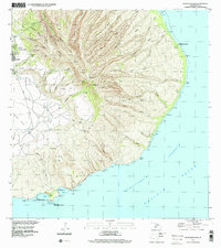
1992 · Haalelepaakai
USGS Topo · 1:24,000
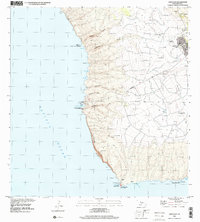
1992 · Lanai City
USGS Topo · 1:24,000