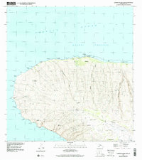
1991 Map of Garden Of The Gods
USGS Topo · Published 2000About this map
The Garden of the Gods landscape dominates the northwestern reach of Lana'i, where wind-eroded geological formations create a stark, distinctive terrain. Along the coast, Polihua Beach stretches toward Ka'ena Point, marked by the essential maritime navigation of the Pōhakuloa Point Light. This 1991 inspection, based on imagery dating back to 1977, reveals a network of primitive tracks and water infrastructure critical for life on this arid plateau, including several Water Tanks and a Catch Basin near Hawai'ilanui Gulch.
Find a feature on this map
36 named features on this map. Tap any name to fly to it.
Don’t see what you’re looking for? This feature index may not catch every label — zoom into the map to look around manually.
Map Details
Editions of this 1991 Garden Of The Gods Map
This is the sole edition of this map. No revisions or reprints were ever made.
Other maps of this area

1923 · Island of Lanai
USGS Topo · 1:31,680

1925 · Island of Lanai
USGS Topo · 1:62,500

1954 · Maui
USGS Topo · 1:250,000

1966 · Maui
USGS Topo · 1:250,000

1974 · Maui
USGS Topo · 1:250,000
1984 · Lanai North
USGS Topo · 1:25,000
1991 · Makalau
USGS Topo · 1:24,000
1992 · Lanai City
USGS Topo · 1:24,000
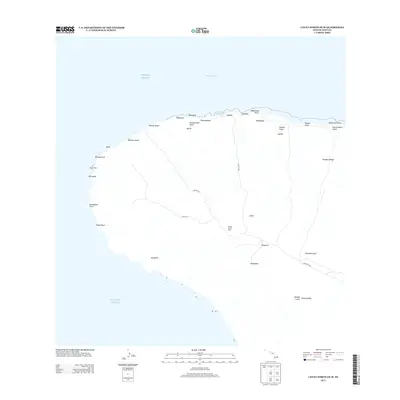
2013 · Lanai North OE W
USGS Topo · 1:24,000
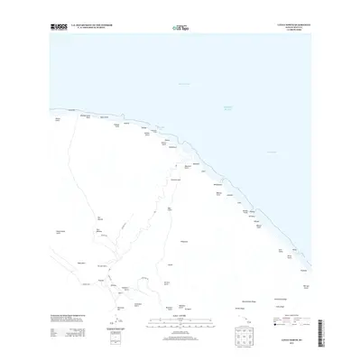
2013 · Lanai North
USGS Topo · 1:24,000