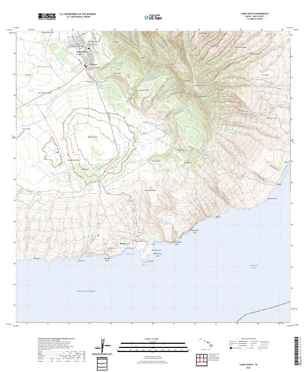
2024 Map of Lanai South
USGS Topo · Published 2024About this map
Lāna‘i City stands as the central hub of activity on this island landscape, where streets like Fraser Ave and Lanai Ave organize the residential and civic life of the community. The map details essential local institutions, including the Lana‘i District Courthouse and the University of Hawaii Maui College Lanai Education Center, alongside the Lanai Hongwanji Mission Columbarium. To the south, the terrain descends from the high ridges of Lāna‘ihale and Kamiki Ridge toward the coast, where Manele and the waters of Manele Bay provide a gateway to the Pacific Ocean. The landscape is defined by a dense network of deep drainage features such as Kaiholena Gulch and Hulopo‘e Gulch, which carve through the Pālawai Basin and reach toward notable coastal landmarks like Pu‘upehe and Kamaiki Point.
Find a feature on this map
88 named features on this map. Tap any name to fly to it.
Don’t see what you’re looking for? This feature index may not catch every label — zoom into the map to look around manually.
Map Details
Editions of this 2024 Lanai South Map
This is the sole edition of this map. No revisions or reprints were ever made.
Other maps of this area

1923 · Island of Lanai
USGS Topo · 1:31,680

1925 · Island of Lanai
USGS Topo · 1:62,500

1954 · Maui
USGS Topo · 1:250,000

1966 · Maui
USGS Topo · 1:250,000

1974 · Maui
USGS Topo · 1:250,000
1984 · Lanai North
USGS Topo · 1:25,000
1984 · Lanai South
USGS Topo · 1:25,000
1992 · Haalelepaakai
USGS Topo · 1:24,000
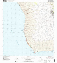
1992 · Lanai City
USGS Topo · 1:24,000
2013 · Lanai North OE E
USGS Topo · 1:24,000