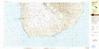
1984 Map of Lanai South
USGS Topo · Published 1984About this map
Lanai City sits at the northern edge of this southern island survey, overlooking the expansive Palawai Basin. The landscape is defined by its transition from the high peaks of Haalelepaakai and Puu Alii down to the rugged coastline of the Pacific Ocean. Along the western shore, maritime activity centers on Kaumalapau Harbor, marked by the Kaumalapau Light. Cultural history is deeply embedded in the terrain, from the Petroglyphs and ancient site of Kaunolu on the southern coast to the Buddhist Cem near the central settlement. The southern rim is further distinguished by the Manele-Hulopoe Marine Life Conservation District, which protects the waters of Manele Bay and Hulopoe Bay. Inland, the agricultural and ranching legacy of the Lana'i District is evidenced by the network of trails and secondary roads connecting places like Miki and Lalakoa.
Find a feature on this map
46 named features on this map. Tap any name to fly to it.
Don’t see what you’re looking for? This feature index may not catch every label — zoom into the map to look around manually.
Map Details
Editions of this 1984 Lanai South Map
This is the sole edition of this map. No revisions or reprints were ever made.
Other maps of this area

1923 · Island of Lanai
USGS Topo · 1:31,680

1925 · Island of Lanai
USGS Topo · 1:62,500

1954 · Maui
USGS Topo · 1:250,000

1966 · Maui
USGS Topo · 1:250,000

1974 · Maui
USGS Topo · 1:250,000
1984 · Lanai North
USGS Topo · 1:25,000
1992 · Haalelepaakai
USGS Topo · 1:24,000
1992 · Lanai City
USGS Topo · 1:24,000
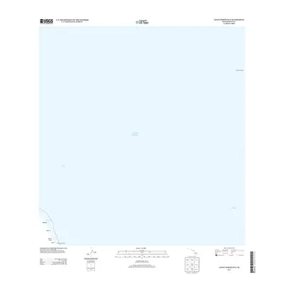
2013 · Lanai North OE E
USGS Topo · 1:24,000
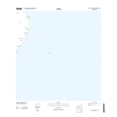
2013 · Lanai South OE E
USGS Topo · 1:24,000