2022 Map of Lancaster
USGS Topo · Published 2022About this map
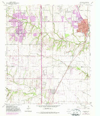
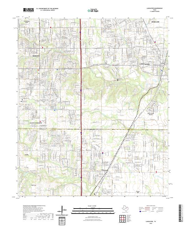
Lancaster and its surrounding communities sit at the intersection of early North Texas settlement and modern suburban expansion. This survey highlights the complex drainage system of the region, where Tenmile Cr and its tributaries like Mill Br and Deep Br carve through the landscape north of the Dallas and Ellis County line. The map is a vital resource for genealogical research, documenting several historical burial sites including the Rawlins Cem near the riverbanks and the Vincent Cem further west. In the southern portion of the sheet, the transition into Ellis County reveals the dispersed rural layouts of Red Oak, Ovilla, and Oak Leaf. These areas are defined by their proximity to the winding course of Red Oak Cr and Brushy Cr, contrasting with the more rigid grid systems of DeSoto and Dallas appearing at the northern margins.
Find a feature on this map
49 named features on this map. Tap any name to fly to it.
Don’t see what you’re looking for? This feature index may not catch every label — zoom into the map to look around manually.
Map Details
Editions of this 2022 Lancaster Map
This is the sole edition of this map. No revisions or reprints were ever made.