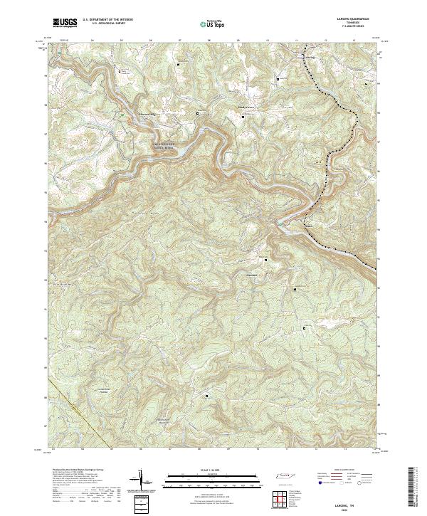
2022 Map of Lancing
USGS Topo · Published 2022About this map
The Obed Wild and Scenic River carves a deep path through the Cumberland Plateau, creating a landscape defined by sharp elevation changes and winding watercourses like Clear Creek and the Emory River. The settlement pattern follows the high ground and narrow valleys, where family-named sites such as Howard Mill and Shady Grove are situated. Numerous small burial grounds are scattered throughout the hills, including Hamby Cem, Zumstein Cem, and Nitzschke Cem, serving as critical markers for genealogists tracing families in this part of Morgan Co.
Find a feature on this map
90 named features on this map. Tap any name to fly to it.
Don’t see what you’re looking for? This feature index may not catch every label — zoom into the map to look around manually.
Map Details
Editions of this 2022 Lancing Map
This is the sole edition of this map. No revisions or reprints were ever made.
Other maps of this area

1887 · Kingston
USGS Topo · 1:125,000

1891 · Kingston
USGS Topo · 1:125,000

1893 · Kingston
USGS Topo · 1:125,000

1895 · Wartburg
USGS Topo · 1:125,000

1896 · Wartburg
USGS Topo · 1:125,000

1935 · Gobey
USGS Topo · 1:24,000

1935 · Camp Austin
USGS Topo · 1:24,000

1935 · Harriman
USGS Topo · 1:24,000

1935 · Lancing
USGS Topo · 1:24,000

1935 · Pilot Mountain
USGS Topo · 1:24,000