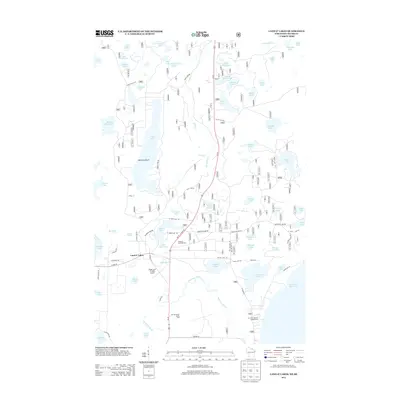
2013 Map of Land O' Lakes
USGS Topo · Published 2013About this map
Land O' Lakes serves as the central hub of this northern Wisconsin landscape, situated amidst an intricate network of glacial water bodies and recreational corridors. The settlement's connection to the wider region is anchored by Kings Land O' Lakes Airport and the north-south artery of US Hwy 45. Beyond the town center, the map reveals a dense concentration of named lakes, including Duck Lake, Anderson Lake, and Moon Lake, which have long defined the area's character as a seasonal retreat.
Find a feature on this map
82 named features on this map. Tap any name to fly to it.
Don’t see what you’re looking for? This feature index may not catch every label — zoom into the map to look around manually.
Map Details
Editions of this 2013 Land O' Lakes Map
This is the sole edition of this map. No revisions or reprints were ever made.
Other maps of this area

1938 · Phelps
USGS Topo · 1:48,000

1946 · Star Lake
USGS Topo · 1:48,000

1950 · Phelps
USGS Topo · 1:48,000

1950 · Star Lake
USGS Topo · 1:48,000

1952 · Watersmeet
USGS Topo · 1:62,500

1952 · Thayer
USGS Topo · 1:62,500

1955 · Starlake
USGS Topo · 1:62,500

1956 · Phelps
USGS Topo · 1:62,500

1958 · Iron River
USGS Topo · 1:250,000

1960 · Iron River
USGS Topo · 1:250,000