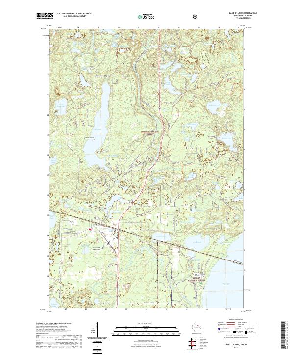
2022 Map of Land O' Lakes
USGS Topo · Published 2022About this map
Duck Lake and Moon Lake anchor this Northwoods landscape, where the state boundary between Wisconsin and Michigan cuts through dense forests and glacial waters. The map reveals a complex network of recreational and historic paths, including the Agonikak Mountain Bike Trl and the Watermeet Snowmobile #3 Trl, which connect various shorelines and small water bodies like Beaver Station Lake and Dinner Lake. In the southern portion of the quadrangle, Kings Land O' Lakes Airport serves as a modern aviation hub for the region, while the prominent Lac Vieux Desert sits just across the boundary. This survey provides a precise record of the lakefront geography, from the small Reimers Island to the numerous timber and service roads like Old Us Hwy 45 that define the local infrastructure during this contemporary era.
Find a feature on this map
128 named features on this map. Tap any name to fly to it.
Don’t see what you’re looking for? This feature index may not catch every label — zoom into the map to look around manually.
Map Details
Editions of this 2022 Land O' Lakes Map
This is the sole edition of this map. No revisions or reprints were ever made.
Other maps of this area

1938 · Phelps
USGS Topo · 1:48,000

1946 · Star Lake
USGS Topo · 1:48,000

1950 · Phelps
USGS Topo · 1:48,000

1950 · Star Lake
USGS Topo · 1:48,000

1952 · Watersmeet
USGS Topo · 1:62,500

1952 · Thayer
USGS Topo · 1:62,500

1955 · Starlake
USGS Topo · 1:62,500

1956 · Phelps
USGS Topo · 1:62,500

1958 · Iron River
USGS Topo · 1:250,000

1960 · Iron River
USGS Topo · 1:250,000