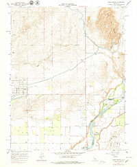
1964 Map of Lanes Bridge
USGS Topo · Published 1979About this map
The San Joaquin River snakes along the boundary between Madera and Fresno counties, defined here by its dynamic braided channels and features like Island No 1 and Island No 2. This early 1960s landscape is characterized by a transition from the rugged slopes of Little Table Mountain in the northeast to the expanding agricultural and residential grids of the San Joaquin Valley. The Madera Canal cuts across the higher elevations, utilizing flumes and siphons to navigate the terrain near the small settlement of Coulthard.
Find a feature on this map
33 named features on this map. Tap any name to fly to it.
Don’t see what you’re looking for? This feature index may not catch every label — zoom into the map to look around manually.
Map Details
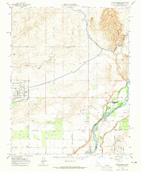
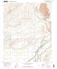
Editions of this 1964 Lanes Bridge Map
3 editions found
Other maps of this area

1912 · Mariposa
USGS Topo · 1:125,000

1916 · Sulphur Springs
USGS Topo · 1:24,000

1919 · Sulphur Springs
USGS Topo · 1:31,680

1919 · Little Table Mountain
USGS Topo · 1:31,680

1921 · Daulton
USGS Topo · 1:31,680

1921 · Bullard
USGS Topo · 1:31,680

1922 · Lanes Bridge
USGS Topo · 1:31,680

1922 · Friant
USGS Topo · 1:31,680

1922 · Gregg
USGS Topo · 1:31,680

1923 · Herndon
USGS Topo · 1:31,680