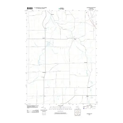
2010 Map of Langford
USGS Topo · Published 2010About this map
Clarksburg and Langford anchor a landscape defined by the branching waterways of southern Erie County at the start of the 21st century. The terrain is marked by significant elevation changes, notably at Rice Hill and the valley of South Branch Eighteenmile Creek, which winds through the northern half of the quadrangle. A network of rural roads connects established crossroads settlements like New Oregon, Marshfield, and Wyandale. Genealogists may find interest in the centrally located Dittman Cemetery, while the presence of Camp Hemlock Ridge south of Marshfield indicates the area's role in local recreation. The southern border of the map is defined by Morton Corners and the winding course of Clear Creek, illustrating a settlement pattern deeply tied to the creek systems of the northern Allegheny Plateau foothills.
Find a feature on this map
57 named features on this map. Tap any name to fly to it.
Don’t see what you’re looking for? This feature index may not catch every label — zoom into the map to look around manually.
Map Details
Editions of this 2010 Langford Map
This is the sole edition of this map. No revisions or reprints were ever made.
Other maps of this area

1905 · Eden
USGS Topo · 1:62,500

1907 · Eden
USGS Topo · 1:62,500

1923 · Cattaraugus
USGS Topo · 1:62,500

1924 · Ellicottville
USGS Topo · 1:62,500

1925 · Springville
USGS Topo · 1:62,500

1938 · Cattaraugus
USGS Topo · 1:62,500

1941 · Cattaraugus
USGS Topo · 1:62,500

1941 · Ellicottville
USGS Topo · 1:62,500

1944 · Eden
USGS Topo · 1:62,500

1944 · North Collins
USGS Topo · 1:31,680