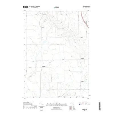
2019 Map of Langford
USGS Topo · Published 2019About this map
Clarksburg and Langford anchor this rural Erie County landscape, where the northern drainage of S Br Eighteenmile Cr and Jennings Cr carve through the glacial uplands. The road network here remains deeply tied to the terrain, with routes like Clarksburg Rd and New Oregon Rd following the natural contours of the stream valleys. Small, isolated clusters of settlement at Marshfield and Wyandale reflect the agricultural character of the region.
Find a feature on this map
66 named features on this map. Tap any name to fly to it.
Don’t see what you’re looking for? This feature index may not catch every label — zoom into the map to look around manually.
Map Details
Editions of this 2019 Langford Map
This is the sole edition of this map. No revisions or reprints were ever made.
Other maps of this area

1905 · Eden
USGS Topo · 1:62,500

1907 · Eden
USGS Topo · 1:62,500

1923 · Cattaraugus
USGS Topo · 1:62,500

1924 · Ellicottville
USGS Topo · 1:62,500

1925 · Springville
USGS Topo · 1:62,500

1938 · Cattaraugus
USGS Topo · 1:62,500

1941 · Cattaraugus
USGS Topo · 1:62,500

1941 · Ellicottville
USGS Topo · 1:62,500

1944 · Eden
USGS Topo · 1:62,500

1944 · North Collins
USGS Topo · 1:31,680