
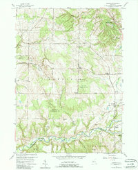
2023 Map of Langford
USGS Topo · Published 2023About this map
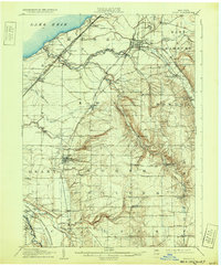
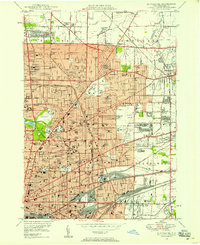
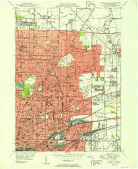
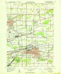
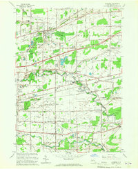
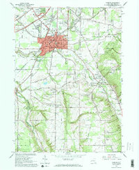
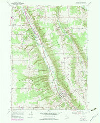
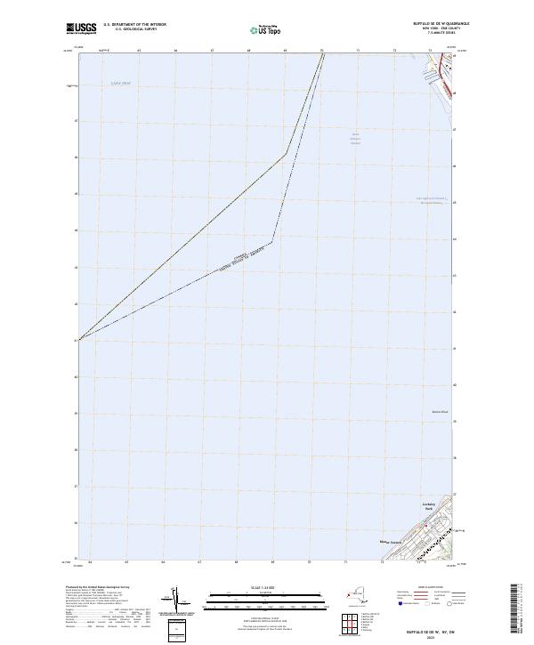
Clarksburg and Langford anchor this rural landscape in Erie County, defined by the winding paths of South Branch Eighteenmile Creek and Clear Creek. The area maintains a traditional settlement pattern where small hamlets like New Oregon and Morton Corners are connected by a network of local roads such as Clarksburg Rd and Thiel-Langford Rd. Significant genealogical and historical details are preserved in the labeling of the Dittman Cem and the Mortons Corners Cem.
Find a feature on this map
69 named features on this map. Tap any name to fly to it.
Don’t see what you’re looking for? This feature index may not catch every label — zoom into the map to look around manually.
Map Details
Editions of this 2023 Langford Map
This is the sole edition of this map. No revisions or reprints were ever made.
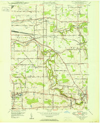
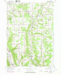
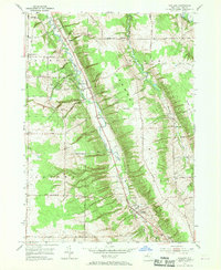
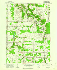
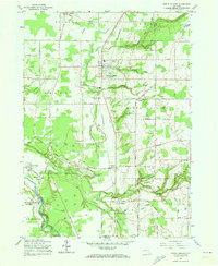
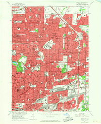
Historical Maps of Marshfield Through Time
50 maps found

1905 Eden
Erie County, NY
1907 Eden
Erie County, NY

1944 Eden
Erie County, NY
1944 Hamburg
Erie County, NY
1944 Langford
Erie County, NY
1944 North Collins
Erie County, NY
1948 Buffalo NE
Erie County, NY
1948 Buffalo SE
Erie County, NY
1948 Hamburg
Erie County, NY
1949 Eden
Erie County, NY
1950 Buffalo NE
Erie County, NY
1950 Buffalo NW
Erie County, NY
1950 Buffalo SE
Erie County, NY
1950 Clarence
Erie County, NY
1950 Lancaster
Erie County, NY
1950 Orchard Park
Erie County, NY

1950 Wolcottsville
Erie County, NY
1955 Colden
Erie County, NY
1955 Holland
Erie County, NY
1957 Sardinia
Erie County, NY
1960 Langford
Erie County, NY
1960 North Collins
Erie County, NY
1965 Buffalo NE
Erie County, NY
1965 Buffalo NW
Erie County, NY
1965 Buffalo SE
Erie County, NY
1965 Clarence
Erie County, NY
1965 Eden
Erie County, NY
1965 Hamburg
Erie County, NY
1965 Lancaster
Erie County, NY
1965 Orchard Park
Erie County, NY
1965 Wolcottsville
Erie County, NY
1979 Holland
Erie County, NY
1980 Wolcottsville
Erie County, NY
1982 Lancaster
Erie County, NY

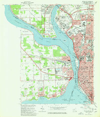
2023 Buffalo NE
Erie County, NY

2023 Buffalo NW
Erie County, NY
2023 Buffalo NW OE W
Erie County, NY

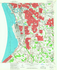
2023 Buffalo SE
Erie County, NY
2023 Buffalo SE OE W
Erie County, NY

2023 Clarence
Erie County, NY

2023 Colden
Erie County, NY

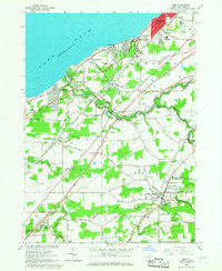
2023 Eden
Erie County, NY

2023 Hamburg
Erie County, NY

2023 Holland
Erie County, NY

2023 Lancaster
Erie County, NY
2023 Langford
Erie County, NY

2023 North Collins
Erie County, NY

2023 Orchard Park
Erie County, NY

2023 Sardinia
Erie County, NY

2023 Wolcottsville
Erie County, NY