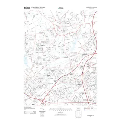
2013 Map of Langhorne
USGS Topo · Published 2013About this map
Neshaminy Creek carves a winding path through this corner of Bucks County, defining the landscape between the established boroughs of Newtown and Hulmeville. The suburban development of the early 21st century is captured in detail, showing the dense residential networks of Langhorne Gardens, Elmwood Terrace, and Trevose Heights. While much of the area reflects modern growth, significant open spaces remain preserved, most notably the expansive Tyler State Park and the waters of Lake Luxembourg.
Find a feature on this map
92 named features on this map. Tap any name to fly to it.
Don’t see what you’re looking for? This feature index may not catch every label — zoom into the map to look around manually.
Map Details
Editions of this 2013 Langhorne Map
This is the sole edition of this map. No revisions or reprints were ever made.
Other maps of this area

1890 · Lambertville
USGS Topo · 1:62,500

1890 · Doylestown
USGS Topo · 1:62,500

1890 · Burlington
USGS Topo · 1:62,500

1891 · Lambertville
USGS Topo · 1:62,500

1891 · Doylestown
USGS Topo · 1:62,500

1893 · Germantown
USGS Topo · 1:62,500
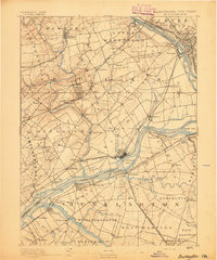
1893 · Burlington
USGS Topo · 1:62,500
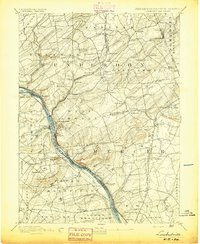
1894 · Lambertville
USGS Topo · 1:62,500
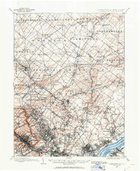
1894 · Germantown
USGS Topo · 1:62,500
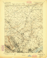
1896 · Germantown
USGS Topo · 1:62,500
Featured Places
- Philadelphia, PA
- Bensalem Township, PA
- Middletown Township, PA
- Lower Makefield Township, PA
- Lower Southampton Township, PA