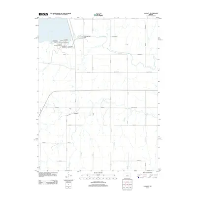
2012 Map of Langley
USGS Topo · Published 2012About this map
Kanopolis Lake and the winding Smoky Hill River dominate the northern landscape of this Ellsworth County quadrangle. The settlement of Langley serves as a central point for the surrounding agricultural grid, defined by a network of numbered roads such as 29th Rd and 30th Rd. The region’s recreational geography is extensively detailed along the lake's southern shore, where numerous campsites including Kanopolis State Park Sandstone Campground, Kanopolis State Park Yucca Campground, and the Kanopolis State Park Little Blue Stem Campground are established.
Find a feature on this map
43 named features on this map. Tap any name to fly to it.
Don’t see what you’re looking for? This feature index may not catch every label — zoom into the map to look around manually.
Map Details
Editions of this 2012 Langley Map
This is the sole edition of this map. No revisions or reprints were ever made.
Other maps of this area

1891 · Hutchinson
USGS Topo · 1:125,000

1892 · Salina
USGS Topo · 1:125,000

1893 · Hutchinson
USGS Topo · 1:125,000

1894 · Ellsworth
USGS Topo · 1:125,000

1894 · Lyons
USGS Topo · 1:125,000

1942 · Salina
USGS Topo · 1:125,000

1955 · Falun
USGS Topo · 1:24,000

1955 · Great Bend
USGS Topo · 1:250,000

1955 · Hutchinson
USGS Topo · 1:250,000

1957 · Great Bend
USGS Topo · 1:250,000