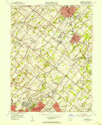
1951 Map of Lansdale
USGS Topo · Published 1953About this map
Montgomery County’s early-1950s landscape is defined by the dense residential expansion of Lansdale and North Wales contrasting with the still-agrarian character of Worcester and Whitpain. The Reading RR serves as a primary transit corridor, connecting smaller stops like Belfry Station and Penbrook Station through the township centers. The presence of the massive Norristown State Hospital For The Insane at the southern edge and the Valley Forge Heart Institute further west reflects the region's historical role in providing specialized institutional care. Neighborhood growth is evident around Jeffersonville and Norriton Square, though many crossroad communities like Heebnerville and Kulpsville still retain their rural distinctness. Local family history is preserved in the numerous country churches and schools, such as the Olde Bethel Hill Ch and the Frog Hollow Sch, which anchor the smaller crossroads between the developing borough hubs.
Find a feature on this map
117 named features on this map. Tap any name to fly to it.
Don’t see what you’re looking for? This feature index may not catch every label — zoom into the map to look around manually.
Map Details
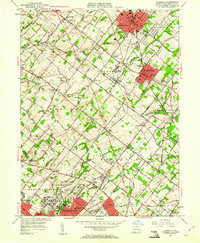
Editions of this 1951 Lansdale Map
2 editions found
Other maps of this area

1888 · Quakertown
USGS Topo · 1:62,500

1890 · Doylestown
USGS Topo · 1:62,500

1890 · Quakertown
USGS Topo · 1:62,500

1891 · Doylestown
USGS Topo · 1:62,500

1893 · Germantown
USGS Topo · 1:62,500

1894 · Quakertown
USGS Topo · 1:62,500

1894 · Norristown
USGS Topo · 1:62,500

1894 · Germantown
USGS Topo · 1:62,500

1895 · Norristown
USGS Topo · 1:62,500

1896 · Germantown
USGS Topo · 1:62,500