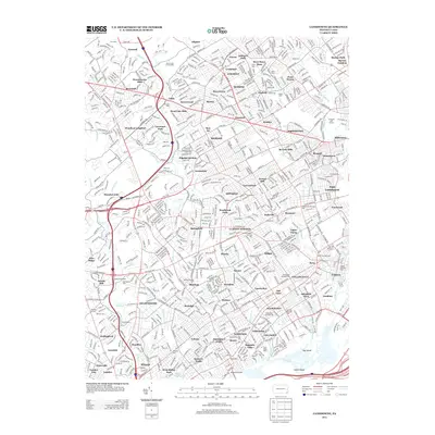
2013 Map of Lansdowne
USGS Topo · Published 2013About this map
Lansdowne Borough Hall and several other municipal centers anchor this 2013 study of a densely developed corridor west of Philadelphia. The map reveals an intricate network of boroughs and neighborhoods, from Brookthorpe Hills and Bryn Mawr in the north to the industrial-tinged landscape of the south near the Industrial Hwy. Evidence of the region’s long-standing water-powered industrial roots is preserved in labels for historic milling sites like Lawrence Mills along Darby Cr and Wallingford Mills near Crum Cr.
Find a feature on this map
124 named features on this map. Tap any name to fly to it.
Don’t see what you’re looking for? This feature index may not catch every label — zoom into the map to look around manually.
Map Details
Editions of this 2013 Lansdowne Map
This is the sole edition of this map. No revisions or reprints were ever made.
Other maps of this area

1891 · Philadelphia
USGS Topo · 1:62,500

1893 · Germantown
USGS Topo · 1:62,500

1894 · Chester
USGS Topo · 1:62,500

1894 · Philadelphia
USGS Topo · 1:62,500

1894 · Norristown
USGS Topo · 1:62,500

1894 · Germantown
USGS Topo · 1:62,500

1895 · Norristown
USGS Topo · 1:62,500

1896 · Germantown
USGS Topo · 1:62,500

1896 · Philadelphia
USGS Topo · 1:62,500

1896 · Norristown
USGS Topo · 1:62,500