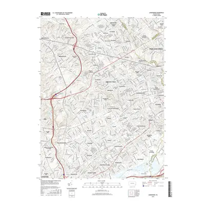
2016 Map of Lansdowne
USGS Topo · Published 2016About this map
Darby Creek and its many tributaries, including Whiskey Run and Muckinipattis Cr, carve through this densely developed corridor of suburban Philadelphia. The 2016 landscape is defined by its extensive collection of memorial grounds and religious institutions, ranging from the sprawling Arlington Cem and Holy Cross Cem to the historic Saint Charles Borromeo Seminary-Overbrook. Educational landmarks like Swarthmore Coll anchor the southwestern portion of the sheet, while the dense residential grids of Upper Darby and Lansdowne show the mature urbanization of the Delaware County borderlands. At the southern edge, the map transitions into the tidal reaches of the creek near Smith Island and Hay Island, where the I-95 Trail and Henderson's Trail provide recreational access near the industrial waterfront of Ridley Park Lake.
Find a feature on this map
116 named features on this map. Tap any name to fly to it.
Don’t see what you’re looking for? This feature index may not catch every label — zoom into the map to look around manually.
Map Details
Editions of this 2016 Lansdowne Map
This is the sole edition of this map. No revisions or reprints were ever made.
Other maps of this area

1891 · Philadelphia
USGS Topo · 1:62,500

1893 · Germantown
USGS Topo · 1:62,500

1894 · Chester
USGS Topo · 1:62,500

1894 · Philadelphia
USGS Topo · 1:62,500

1894 · Norristown
USGS Topo · 1:62,500

1894 · Germantown
USGS Topo · 1:62,500

1895 · Norristown
USGS Topo · 1:62,500

1896 · Germantown
USGS Topo · 1:62,500

1896 · Philadelphia
USGS Topo · 1:62,500

1896 · Norristown
USGS Topo · 1:62,500