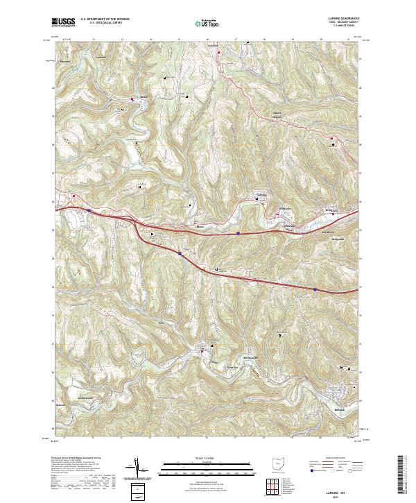
2023 Map of Lansing
USGS Topo · Published 2023About this map
Wheeling Creek carves a deep valley through this corner of Belmont County, serving as a historic corridor for the National Rd and several interconnected mining and railroad settlements. To the north, Barton and Maynard sit nestled among steep hills like Methodist Ridge, while the southeastern corner is dominated by the industrial and residential footprint of Bellaire along McMahon Creek. The landscape is a complex network of narrow valleys and high ridges, notably High Ridge, where modern infrastructure follows the ancient paths of earlier hill-country transit. Genealogists will find a high density of burial sites across the township, ranging from smaller family and church plots like Alexander Cem and Rock Hill Cem to larger memorial grounds such as Belmont Memorial Park. This 2023 edition documents the persistent settlement patterns of eastern Ohio, where older communities like Blaine, Lansing, and Wolfhurst remain linked by the winding topography of the region.
Find a feature on this map
160 named features on this map. Tap any name to fly to it.
Don’t see what you’re looking for? This feature index may not catch every label — zoom into the map to look around manually.
Map Details
Editions of this 2023 Lansing Map
This is the sole edition of this map. No revisions or reprints were ever made.
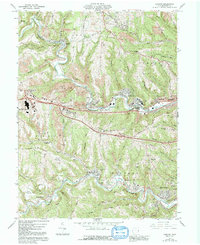
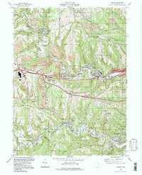
Historical Maps of Neffs Through Time
3 maps found