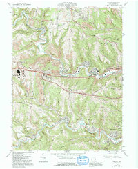
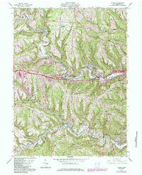
1960 Map of Lansing
USGS Topo · Published 1993About this map
Wheeling Creek and McMahon Creek carve through the Belmont County landscape, defining the industrial and residential development of this Ohio coal country region. The terrain is marked by extensive extractive activity, with numerous Strip Mines and local infrastructure like the B & O RR serving the narrow valley floors. Near the junction of the National Road and the Interchange, the Ohio Valley Mall Shopping Center signals a shift toward commercial growth.
Find a feature on this map
80 named features on this map. Tap any name to fly to it.
Don’t see what you’re looking for? This feature index may not catch every label — zoom into the map to look around manually.
Map Details
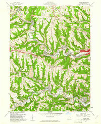
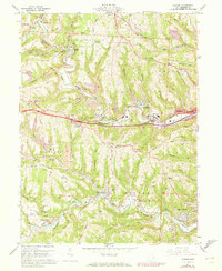
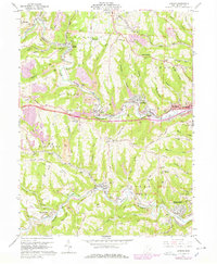
Editions of this 1960 Lansing Map
5 editions found
Other maps of this area

1902 · Wheeling
USGS Topo · 1:62,500

1904 · Cameron
USGS Topo · 1:62,500

1905 · Clarington
USGS Topo · 1:62,500

1905 · St. Clairsville
USGS Topo · 1:62,500

1935 · Cameron
USGS Topo · 1:62,500

1935 · Clarington
USGS Topo · 1:62,500

1935 · Wheeling
USGS Topo · 1:62,500

1940 · Clarington
USGS Topo · 1:62,500

1942 · Cameron
USGS Topo · 1:62,500

1942 · Wheeling
USGS Topo · 1:62,500