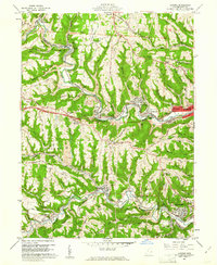
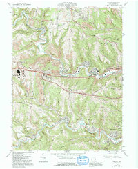
1960 Map of Lansing
USGS Topo · Published 1961About this map
Wheeling Creek and McMahon Creek carve deep valleys through this part of Belmont County, defining a landscape dominated by the coal industry and transportation corridors. Dozens of Strip Mine operations mark the hillsides around Barton and Maynard, revealing the intense resource extraction occurring in the early 1960s. The historic National Road and U. S. Highway 40 parallel the creek, linking a string of industrial settlements like Blaine, Wolfhurst, and Brookside. Genealogy researchers can find numerous burial sites, from the large Linwood Cemetery to smaller family plots like Hardesty Cem and Turk Cem. The Baltimore and Ohio railroad tracks wind along the valley floors, serving the coal mines and connecting larger hubs like Bellaire and Bridgeport. Landmarks such as the Radio Towers (WWVA) and a Drive-in Theater near St Clairsville reflect the mid-century cultural footprint of this Ohio River borderland.
Find a feature on this map
71 named features on this map. Tap any name to fly to it.
Don’t see what you’re looking for? This feature index may not catch every label — zoom into the map to look around manually.
Map Details
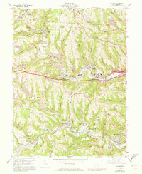
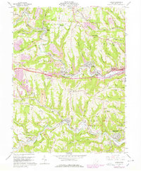
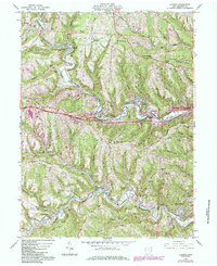
Editions of this 1960 Lansing Map
5 editions found
Other maps of this area

1902 · Wheeling
USGS Topo · 1:62,500

1904 · Cameron
USGS Topo · 1:62,500

1905 · Clarington
USGS Topo · 1:62,500

1905 · St. Clairsville
USGS Topo · 1:62,500

1935 · Cameron
USGS Topo · 1:62,500

1935 · Clarington
USGS Topo · 1:62,500

1935 · Wheeling
USGS Topo · 1:62,500

1940 · Clarington
USGS Topo · 1:62,500

1942 · Cameron
USGS Topo · 1:62,500

1942 · Wheeling
USGS Topo · 1:62,500