
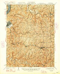
1942 Map of Cameron
USGS Topo · Published 1942About this map
Moundsville and the industrial corridor along the Ohio River anchor this 1942 edition, which documents the complex topography of Marshall County just before the mid-century. While the riverfront shows the density of McMechen and Benwood, the interior is a dense network of ridge-top settlements and deep hollows, including the colorfully named Speakeasy Hollow and Seldom Seen Hollow. The Baltimore and Ohio railroad tracks follow the winding paths of Grave Creek and Fish Creek, connecting interior towns like Cameron and Glen Easton to the river valley.
Find a feature on this map
93 named features on this map. Tap any name to fly to it.
Don’t see what you’re looking for? This feature index may not catch every label — zoom into the map to look around manually.
Map Details
Editions of this 1942 Cameron Map
2 editions found
Other maps of this area

1902 · Wheeling
USGS Topo · 1:62,500

1903 · Littleton
USGS Topo · 1:62,500

1904 · Cameron
USGS Topo · 1:62,500

1905 · Mannington
USGS Topo · 1:62,500

1905 · Rogersville
USGS Topo · 1:62,500

1905 · Littleton
USGS Topo · 1:62,500

1905 · Clarington
USGS Topo · 1:62,500

1905 · St. Clairsville
USGS Topo · 1:62,500

1906 · New Martinsville
USGS Topo · 1:62,500

1907 · Claysville
USGS Topo · 1:62,500