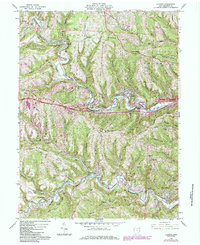
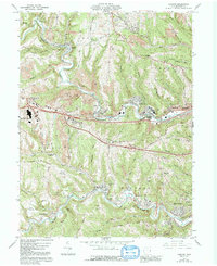
1960 Map of Lansing
USGS Topo · Published 1985About this map
The industrial and extractive landscape of Belmont County is clearly defined here by the extensive presence of Strip Mines and subterranean workings following the valley floors. The Baltimore and Ohio railroad corridor dictates the settlement patterns, winding through the sharp topography alongside Wheeling Creek and McMahon Creek. This 1960s-era snapshot captures the coal-belt communities of Lansing, Blaine, and Barton during a period of transition, where legacy infrastructure like the National Road meets modern developments such as a Drive-in Theater and the local Interchange. Genealogists will find a dense concentration of burial sites, including Belmont Memorial Park Cemetery and several smaller family or local grounds like Hardesty Cem and Berry Cem. The map provides a distinct look at the intersection of heavy industry and residential growth in the hills overlooking Bellaire and Bridgeport.
Find a feature on this map
59 named features on this map. Tap any name to fly to it.
Don’t see what you’re looking for? This feature index may not catch every label — zoom into the map to look around manually.
Map Details
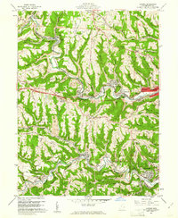
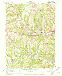
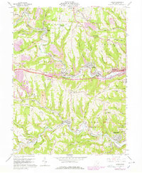
Editions of this 1960 Lansing Map
5 editions found
Other maps of this area

1902 · Wheeling
USGS Topo · 1:62,500

1904 · Cameron
USGS Topo · 1:62,500

1905 · Clarington
USGS Topo · 1:62,500

1905 · St. Clairsville
USGS Topo · 1:62,500

1935 · Cameron
USGS Topo · 1:62,500

1935 · Clarington
USGS Topo · 1:62,500

1935 · Wheeling
USGS Topo · 1:62,500

1940 · Clarington
USGS Topo · 1:62,500

1942 · Cameron
USGS Topo · 1:62,500

1942 · Wheeling
USGS Topo · 1:62,500