
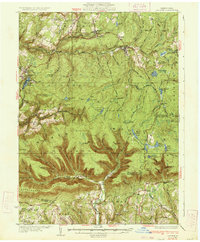
1934 Map of Laporte
USGS Topo · Published 1934About this map
Loyalsock Creek and its complex network of tributaries define this 1930s landscape, where industry and leisure intersect in the Allegheny Plateau. The northern portion of the sheet is dominated by the Lehigh Valley railroad corridor, serving coal-mining and timber towns like Mildred, Bernice, and Lopez. To the south, the terrain becomes increasingly complex as it drops into the drainage of Fishing Creek, where small settlements such as Jamison City and Central sit along the creek banks.
Find a feature on this map
97 named features on this map. Tap any name to fly to it.
Don’t see what you’re looking for? This feature index may not catch every label — zoom into the map to look around manually.
Map Details
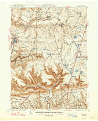
Editions of this 1934 Laporte Map
3 editions found
Other maps of this area

1891 · Harveys Lake
USGS Topo · 1:62,500

1893 · Harvey Lake
USGS Topo · 1:62,500

1894 · Shickshinny
USGS Topo · 1:62,500

1894 · Bloomsburg
USGS Topo · 1:62,500

1927 · Eagles Mere
USGS Topo · 1:48,000

1932 · Eagle Mere
USGS Topo · 1:62,500

1935 · Hughesville
USGS Topo · 1:62,500

1943 · Monroeton
USGS Topo · 1:62,500

1943 · Powell
USGS Topo · 1:62,500

1945 · Powell
USGS Topo · 1:62,500