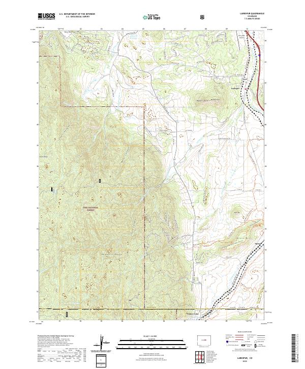
2022 Map of Larkspur
USGS Topo · Published 2022About this map
Pike National Forest dominates the southwestern reaches of this survey, where the Rampart Range rises above a landscape of deep canyons including Starr Canyon and Stone Canyon. The eastern half of the map reveals a corridor of development anchored by the BNSF Railway, which passes through Larkspur and down toward Palmer Lake at the southern boundary. This rail-and-road corridor serves as a historical gateway between Denver and Colorado Springs, marked by local institutions like the Larkspur Sch and the Larkspur Cem. Distinctive geological formations punctuate the terrain, most notably the high plateau of Spruce Mtn and the aptly named Monkey Face. Water management is evident through the presence of the Ahimaaz Gove Ditch and Kountz Ditch, reflecting the area's agricultural and ranching foundations.
Find a feature on this map
140 named features on this map. Tap any name to fly to it.
Don’t see what you’re looking for? This feature index may not catch every label — zoom into the map to look around manually.
Map Details
Editions of this 2022 Larkspur Map
This is the sole edition of this map. No revisions or reprints were ever made.
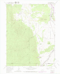
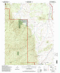
Historical Maps of Palmer Lake Through Time
3 maps found